The Victoria Settlement Natural Area (NA) is largely inaccessible, requiring water access or landowner permission. Its naturalness is rated 4, highlighting minimal human disturbance. Observations noted the absence of trails, agriculture, and motorized activities, while a powerline crosses its western edge. The area exemplifies a mixed forest parkland.

Without bushwhacking and following unreliable animal trails, the NA is largely inaccessible. The NA is on the North bank of North Saskatchewan and an island.
Getting to the NA involves approaching from the water or getting permission from one of the surrounding landowners. If from the water, then investigating the island portion of the NA is possible. Given the lack of disturbances, this has given this NA a naturalness score of a ‘4’.
Inspection Report
| Question | Q## | Response |
| General Information | ||
| Date/Site/Submitter: | Q21/22/12 | 2024-08-30: Victoria Settlement (NA); Phrank P. |
| Guest Names | Q14 | |
| SAPAA Member | Q16 | Yes |
| Over all Impression of the Site | ||
| What is the Naturalness of the Site? 4=Great, 0=Terrible | Q31 | 4 – Great |
| How Natural?: comments | Q32 | The NA is largely undisturbed with no discernable trails going into it. They only exception is on the west side where transmission lines cross the river on its march south. |
| How was your visit to the PA? | ||
| Trip Duration | Q41 | 1-2 hours |
| Why Did you Go? | Q42 | Other (see comments) |
| Visit Details | Q43 | YEGVille exploration, see https://yegville.ca/4-part-yegville/ne-yegville/victoria-settlement-na/. |
| What is in the Site? | ||
| Ease to Visit | Q51 | None of the Above |
| Biological Observations | Q52 | Water, Private, or No Access. The NA is surrounded by private land to all but the south where the North Saskatchewan River forms the border. Permission must be sought from one of the landowners or plan to paddle to the site. For the latter, expect steep embankments and not much in the way of trails up to the table land. |
| Submissions to iNaturalist | Q53 | No, did not see anything of note |
| Geological Observations | Q54 | Nothing of note although I was not able to see the extent of river erosion of the banks of the NA. |
| Designation as a Protected Area | Q55 | Signage |
| Comments | Q56 | A single sign in the NW corner. |
| Human Activities/Disturbances | ||
| Agricultural Activities | Q61 | None noted |
| Resource extraction | Q62 | None Noted |
| Motorized disturbances (ATV or vehicle activity). | Q63 | None Noted |
| Animal or self propelled activities | Q64 | None Noted |
| Gathering and Dumping Activities | Q65 | None Noted |
| Infrastructure encroachment | Q66 | Power lines |
| Comments | Q67 | A powerline occupies a narrow strip of land on the western border of the NA. |
| What Needs to be Done? | ||
| Remediation/Protection Activities Needed | Q71 | Nothing, all good |
| What Have you Done Recently to Help the site? | Q72 | Visit and Submitted This Report! |
| Nearby Stewards? | Q73 | Lafarge cement, which runs a nearby quarry was very cooperative. |
| Comments | Q74 | |
| Last Words | Q82 | This NA has had very little human intrusion and is an excellent example of a mixed forest parkland. Inaccessibility has its advantages! |
Images from Inspection
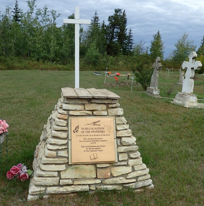
Memorial in the methodist cemetery across the road (and up the hill) from the NA, Victoria Settlement NA, 2024-08-30, P. Potter. 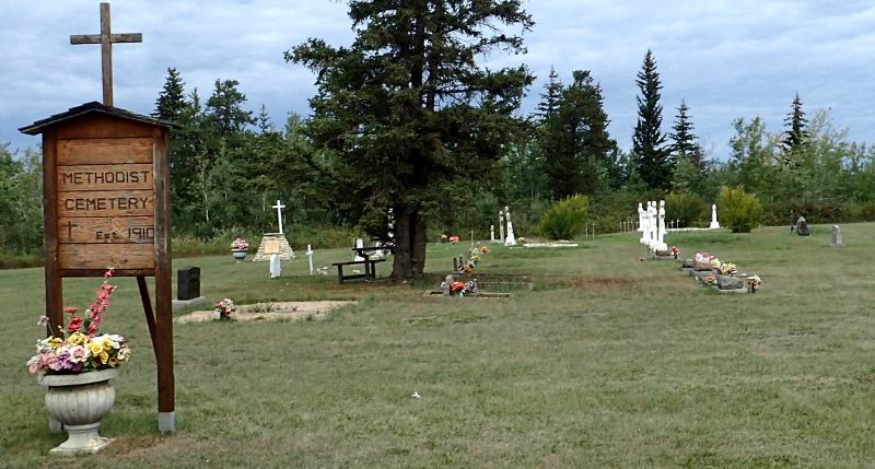
Methodist cemetery across the road (and up the hill) from the NA, Victoria Settlement NA, 2024-08-30, P. Potter., Victoria Settlement NA, 2024-08-30, P. Potter. 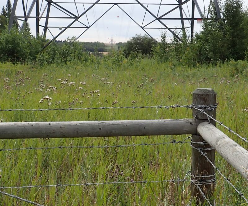
Looking south (across the North Saskatchewan River) and into the west border of the NA, Victoria Settlement NA, 2024-08-30, P. Potter. 
Boundary sign nearly obscured by the thick vegetation in the NA, Victoria Settlement NA, 2024-08-30, P. Potter. 
ATV Track that runs north of and parallel to, but not in, the NA, Victoria Settlement NA, 2024-08-30, P. Potter. 
Looking down and south from the adjoining property into the eastern point of the NA, Victoria Settlement NA, 2024-08-30, P. Potter. 
Looking south from a viewing platform-built overlooking, but not in, the NA, Victoria Settlement NA, 2024-08-30, P. Potter. 
Looking north, along the power corridor, at two white tail deer that have yet caught my scent or sound; they are feeding on private land with the fence being the north border of the NA, Victoria Settlement NA, 2024-08-30, P. Potter. 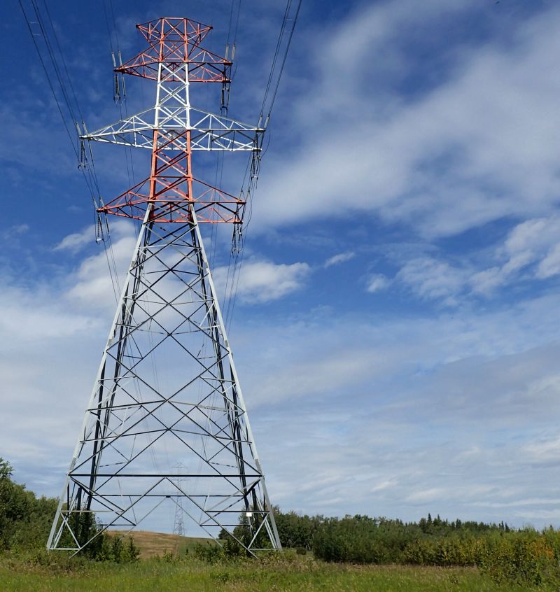
Looking north at the giant sentinels whose power lines pass through the NA, Victoria Settlement NA, 2024-08-30, P. Potter.
