This Natural Area is north of but not on Bentz Lake, about 11 km west of Sundre. The parcel of land between the site and the lake is Crown Land [1].
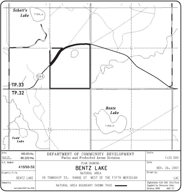
Map of the Area
Any maps and map views are for general information only. Do not rely on them for navigation or to determine legal boundaries.
Other Information
The Bentz Lake Natural Area contains organic wetlands (fens) around islands of glacial till. Upland vegetation includes pure stands of aspen or mature white spruce, mixed stands of aspen and white spruce and occasional lodgepole pine stands (Alberta Parks website, 2012).
Biophysical Observations (via iNaturalist)
Are you a member of iNaturalist.ca? It is free to join and you can help nature by making observations with your smart phone.
If there are no or only a few observations, how about visiting and adding some? While there, complete a site inspection report (but read the Site Inspections terms and conditions first).
Observations & Projects for this Natural Area
- Observations for this Natural Area.
- No iNaturalist Projects.
Site Statistics
| Site Name | Bentz Lake |
| Site Type | Natural Area |
| Subtype | Order-in-council (OC) |
| Natural Region(s) | Lower Foothills |
| O.C. No. (Land Ref. Manual) | 519/95 |
| PASite ID (Map Ref #) | 504 |
| Site # (Parks Website) | 510 |
| Total Area | 66.22 ha. (163.63 ac.) |
| Steward-Status | |
| Recreation Activities | hunting |
| IUCN | II |
| Operated By | Parks Division |
| Notes and Comments |
References
The following links are provided as a courtesy but are not verified or endorsed by SAPAA. Clicking on the link will cause you to leave the SAPAA website. Primary source of information is: Information & Facilities – Bentz Lake Natural Area | Alberta Parks (All links accessed on 2025-04-08).
