Brazeau Tufa NA is a quarter-section in size, lying north of, but not directly on, the Brazeau River. It is approximately 50 km due north of Nordegg.
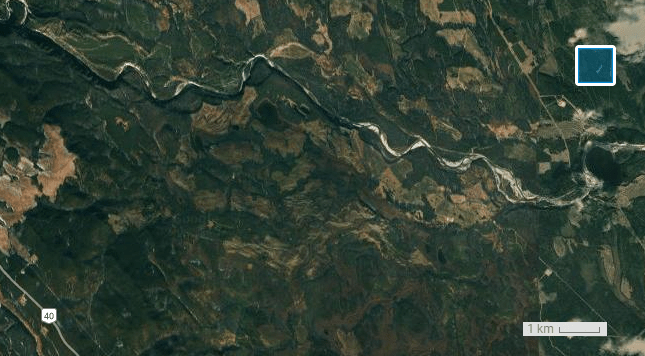
Map of the Area
Any maps and map views are for general information only. Do not rely on them for navigation or to determine legal boundaries.
Biophysical Observations (via iNaturalist)
Are you a member of iNaturalist.ca? It is free to join and you can help nature by making observations with your smart phone.
If there are no or only a few observations, how about visiting and adding some? While there, complete a site inspection report (but read the Site Inspections terms and conditions first).
Observations & Projects for this Natural Area
- Observations for this Natural Area.
- No iNaturalist Projects.
Other Information
Brazeau river and surrounding features are named for Joseph E. Brazeau. A polyglot, he spoke Stony, Sioux, Saulteaux, Cree, Blackfoot, and Crow. He assisted the Palliser expedition and worked for the Hudson Bay Company in the mid-19th century. The Stony name for the river is Tum-wap-ta [1, p. 42].
Tufa is a type of limestone made of microscopic layers of microcrystalline calcite. Tufa may contain algae and larger fossils including leaves, wood, molluscs, and insect body parts, webs, and larval casings. Tufa forms in cold springs and areas of groundwater seepage. Removal of carbon dioxide during algal photosynthesis precipitates calcium carbonate which is thought to facilitate the formation of tufa. As the carbonate mineral precipitates, leaves and various life forms may become trapped within layers of mineral and fossilize. The rock is soft and easy to crush into powder.
A lower quality alternative to limestone, tufa has been used in the past in the manufacture of cement and fillers. Settlers used crushed tufa to plaster the walls of their dwellings and feed their chickens [2].
Site Statistics
| Site Name | Brazeau Tufa (CNT) |
| Site Type | Natural Area |
| Subtype | Consultative Notation (CNT) |
| Natural Region(s) | Lower Foothills |
| O.C. No. (Land Ref. Manual) | N/A |
| PASite ID (Map Ref #) | 467 |
| Site # (Parks Website) | |
| Total Area | 62.98 ha. (155.63 ac.) |
| Steward-Status | |
| Recreation Activities | |
| IUCN | |
| Operated By | |
| Notes and Comments |
References
The following links are provided as a courtesy but are not verified or endorsed by SAPAA. Clicking on the link will cause you to leave the SAPAA website. Primary source of information is: Government of Alberta.
- Aubrey, Merrily K., ed. Concise Place Names of Alberta. Calgary: University of Calgary Press, 2006.
- Marl and Tufa, Earth and Atmospheric Sciences, University of Alberta.
