Lily Lake Natural Area has rolling topography with numerous wet depressions. Vegetation communities consist of mixed forests of aspen-balsam poplar-white spruce, willow shrublands and black spruce-tamarack/Labrador tea-dwarf birch wetlands.
- Map of the Area
- Other Information
- Biophysical Observations (via iNaturalist)
- Site Statistics
- References
- Further Reading
Map of the Area
Any maps and map views are for general information only. Do not rely on them for navigation or to determine legal boundaries.
Other Information
This ca. 172 ha Natural Area west of Lac Ste. Anne occupies the northern, eastern and southern portions of Lily Lake. It is largely free of ATV tracks despite the existence of two distinct cutlines starting at Township Road 550 and heading south to Lily Lake. Little foot traffic is evident and the few trails follow a fence and end at a small prairie lake. The site is relatively pristine and remote [1]. It lies in the Boreal Forest Natural Region, Dry Mixedwood Subregion.
More than one Lily Lake in north-central Alberta!
This particular Lily Lake is accessed by following Highway 765 through the hamlet of Darwell, turning west on Township Rd 550 for about 4.5 km , and then south on the section right-of-way.
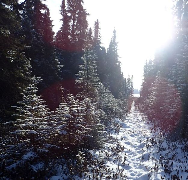
The origin of the name is unknown, but it is presumed to be a reference to water lilies (Nuphar variegata) whose flowers and leaves float on the water surface in late spring and summer. The name was documented in the 1887 field notes of the Dominion Land Survey and started to appear on Department of the Interior maps by 1917 [2]. The Natural Area is an excellent location to practice snowshoeing – not too far off the beaten path.
Biophysical Observations (via iNaturalist)
Are you a member of iNaturalist.ca? It is free to join and you can help nature by making observations with your smart phone.
If there are no or only a few observations, how about visiting and adding some? While there, complete a site inspection report (but read the Site Inspections terms and conditions first).
Observations & Projects for this Natural Area
- Observations for this Natural Area.
- No iNaturalist Projects.
Site Statistics
| Site Name | Lily Lake |
| Site Type | Natural Area |
| Subtype | Order-in-council (OC) |
| Natural Region(s) | Dry Mixedwood |
| O.C. No. (Land Ref. Manual) | 454/71 |
| PASite ID (Map Ref #) | 128 |
| Site # (Parks Website) | 545 |
| Total Area | 171.99 ha. (424.99 ac.) |
| Steward-Status | |
| Recreation Activities | hunting, snowmobiling (off site) |
| IUCN | II |
| Operated By | Alberta Tourism, Parks, Recreation & Culture |
| Notes and Comments |
References
The following links are provided as a courtesy but are not verified or endorsed by SAPAA. Clicking on the link will cause you to leave the SAPAA website. Primary source of information is: Government of Alberta – Information & Facilities – Lily Lake Natural Area | Alberta Parks (2026-01-27).
- YEG-Ville Trail Guide (unpublished, used with permission).
- Kelland, Roland. “Potter Asks – Origin of Alberta Place Names West of Edmonton and North of Hwy 16,” December 21, 2020.
Further Reading
- Lily Lake Site Visits, SAPAA Newsletter #40, October 2021, p. 6

Naming places is an interesting endeavor. The first nations had names for many geographic features before the Europeans arrived.
Often these were mnemonic devices describing the feature or placing it in context of other features. Although European naming often honoured significant individuals (or just the local post master), sometimes they to used a descriptive term – such as Lily Lake.
A nice little site that protects a portion of the lake for which it is named and on which one can find Lilies… assuming you don’t snowshoe to it in the winter that is…
LikeLike