Composed of two portions of contiguous land, the area is not accessible without permission from nearby grazing leaseholders, the private road owner (Shell) or the Stoney First Nation.
- Map of the Area
- Other Information
- No Legal Access
- Biophysical Observations (via iNaturalist)
- Site Statistics
- References
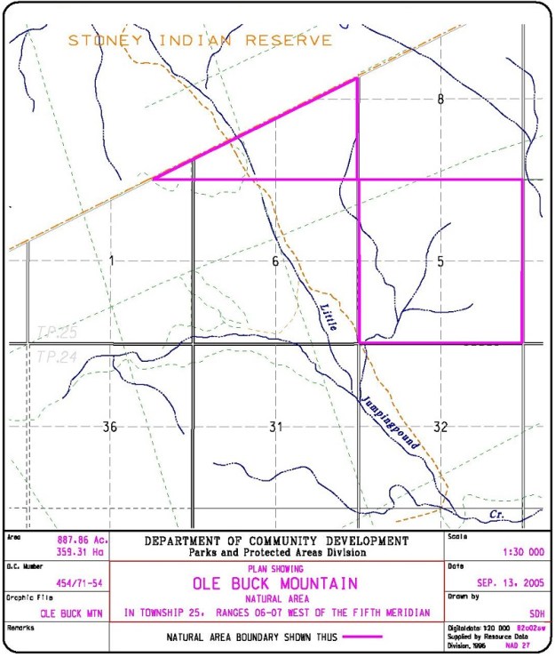
Map of the Area
Any maps and map views are for general information only. Do not rely on them for navigation or to determine legal boundaries.
Other Information
Ole Buck Mountain Natural Area is a rolling, hilly site, shallowly incised by creeks and gullies. It is mainly forested by a variety of mixedwood stands of aspen, balsam poplar, white spruce and lodgepole pine.
The site is named for a peak south of the area and just north of Highway 68. The NA is surrounded on three sides by the Stoney Indian Reserve. On the east side, the site abuts private land and a provincial grazing lease [1].
No Legal Access
Attempts by the Friends of Kananaskis Country to secure access to the site have been unsuccessful. Interestingly, the site is apparently used by hunters suggesting some accommodation is possible with an adjacent landowner [2].
Biophysical Observations (via iNaturalist)
Are you a member of iNaturalist.ca? It is free to join and you can help nature by making observations with your smart phone.
If there are no or only a few observations, how about visiting and adding some? While there, complete a site inspection report (but read the Site Inspections terms and conditions first).
Observations & Projects for this Natural Area
- Ole Buck Mountain (OC) Observations.
- Ole Buck Mountain (PNT) Observations.
- No iNaturalist Projects.
Site Statistics
Total size of the combined natural areas varies slightly from the Order in Council document as it includes a protective notational component. The following areas are based on the above mapping information provided by the Government of Alberta.
| Site Name | Ole Buck Mountain |
| Site Type | Natural Area |
| Subtype | Order-in-council (OC) |
| Natural Region(s) | Montane |
| O.C. No. (Land Ref. Manual) | 454/71 |
| PASite ID (Map Ref #) | 286 |
| Site # (Parks Website) | 474 |
| Total Area | 354.39 ha. (875.71 ac.) |
| Steward-Status | |
| Recreation Activities | none noted |
| IUCN | II |
| Operated By | Parks Division |
| Notes and Comments |
| Site Name | Ole Buck Mountain (PNT) |
| Site Type | Natural Area |
| Subtype | Protective Notation (PNT) |
| Natural Region(s) | Montane |
| O.C. No. (Land Ref. Manual) | N/A |
| PASite ID (Map Ref #) | 286 |
| Site # (Parks Website) | N/A |
| Total Area | 3.73 ha. (9.23 ac.) |
| Steward-Status | |
| Recreation Activities | |
| IUCN | |
| Operated By | |
| Notes and Comments |
References
The following links are provided as a courtesy but are not verified or endorsed by SAPAA. Clicking on the link will cause you to leave the SAPAA website. Primary source of information is: Government of Alberta – Ole Buck Mountain Natural Area – Alberta Parks (2026-01-06).

Don’t try to visit this site. It is probably worthwhile to do so, but you can’t despite it being public land. Others have visited it, just not you – probably. Read on to find out why this site is so difficult to visit….
LikeLike