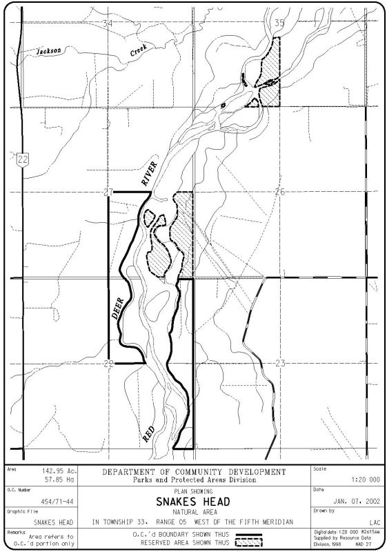
This site is a combination of mostly linear OC and PNT portions along the Red Deer River. The southernmost portion is about 2 km north of Sundre.
- Map of the Area
- Other Information
- Biophysical Observations (via iNaturalist)
- Site Statistics
- References
- Site Inspections
Map of the Area
Any maps and map views are for general information only. Do not rely on them for navigation or to determine legal boundaries.
Other Information
Snakes Head Natural Area occupies the floodplain and braided channels of the Red Deer River near Sundre plus a section of upland and east-facing embankment. The vegetation includes riverine balsam poplar woodlands, aspen stands and mixed poplar-white spruce woods, with successional stages ranging from unvegetated gravel and sand bars to mature tree stands.
The Stewards of this area, Fran and Connie Lavoie, were honored for their enduring commitment with the Outstanding Individual Steward Award in 2014 [1].
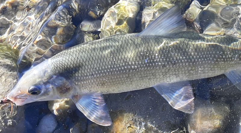
Biophysical Observations (via iNaturalist)
Are you a member of iNaturalist.ca? It is free to join and you can help nature by making observations with your smart phone.
If there are no or only a few observations, how about visiting and adding some? While there, complete a site inspection report (but read the Site Inspections terms and conditions first).
Observations & Projects for this Natural Area
- Snakes Head (OC) Observations.
- Snakes Head (PNT) Observations
- No iNaturalist Projects.
Site Statistics
| Site Name | Snakes Head |
| Site Type | Natural Area |
| Subtype | Order-in-council (OC) |
| Natural Region(s) | Dry Mixedwood |
| O.C. No. (Land Ref. Manual) | 454/71 |
| PASite ID (Map Ref #) | 278 |
| Site # (Parks Website) | 517 |
| Total Area | 57.85 ha. (142.98 ac.) |
| Steward-Status | |
| Recreation Activities | none noted |
| IUCN | II |
| Operated By | Parks Division |
| Notes and Comments |
| Site Name | Snakes Head (PNT) |
| Site Type | Natural Area |
| Subtype | Protective Notation (PNT) |
| Natural Region(s) | Dry Mixedwood |
| O.C. No. (Land Ref. Manual) | N/A |
| PASite ID (Map Ref #) | 278 |
| Site # (Parks Website) | N/A |
| Total Area | 27.06 ha. (66.86 ac.) |
| Steward-Status | |
| Recreation Activities | |
| IUCN | IV*6 |
| Operated By | |
| Notes and Comments |
References
The following links are provided as a courtesy but are not verified or endorsed by SAPAA. Clicking on the link will cause you to leave the SAPAA website. Primary source of information is: Information & Facilities – Snakes Head Natural Area | Alberta Parks (All links accessed on 2022-12-05).
- Alberta Park’s Volunteer’s Conference 19-21 September 2014, SAPAA Newsletter No. 31 March 2015 , p. 1.
Site Inspections
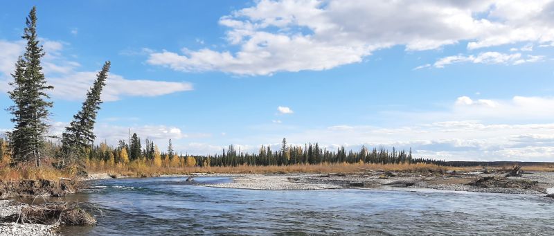
main channel looking SEast, SnakesHead PNT 2024-10-03,Tony B. 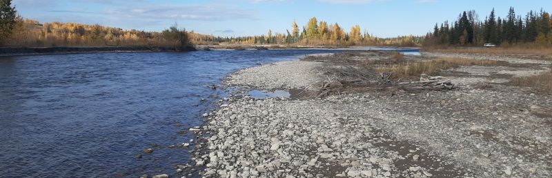
main channel looking North, SnakesHead PNT 2024-10-03,Tony B. 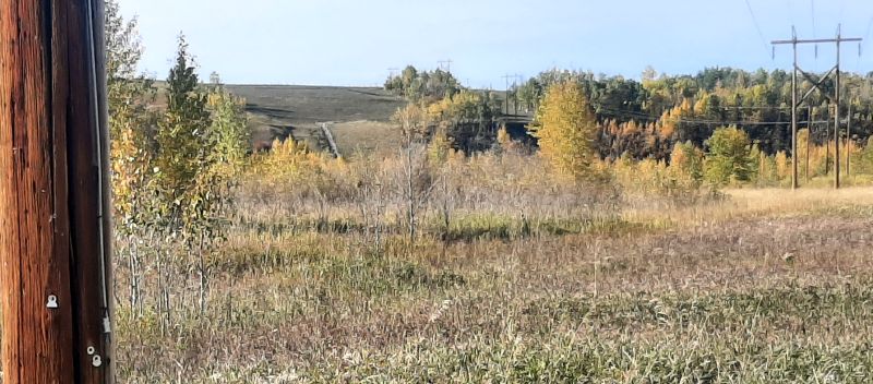
SnakesHead PNT 2024-10-03 powerline/pipeline corridor; the hillside in the distance is on the other side of the river; looking NWest, Tony B. 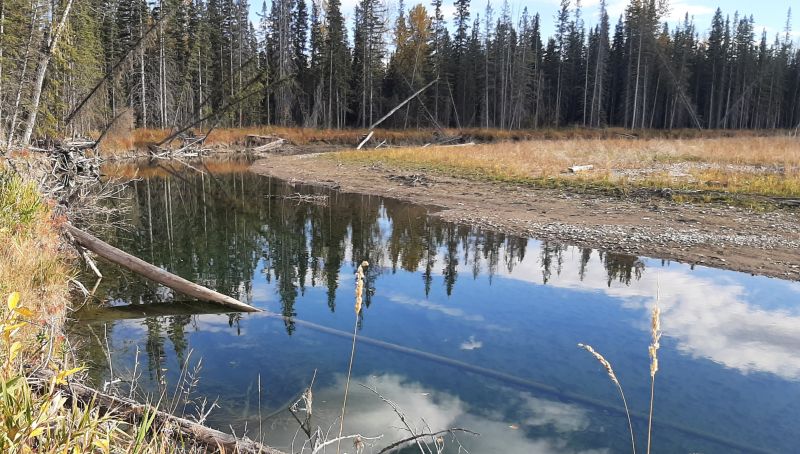
Side channel; looking SEast, SnakesHead PNT 2024-10-03,Tony B. 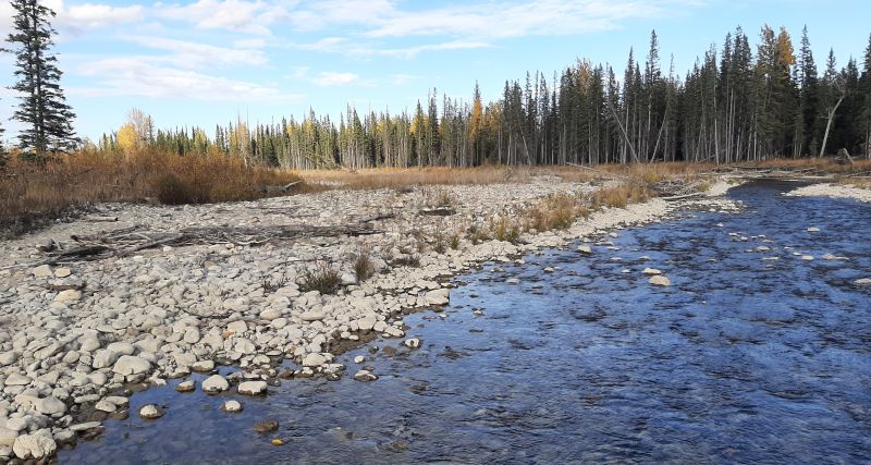
Side channel; looking NEast, SnakesHead PNT 2024-10-03,Tony B. 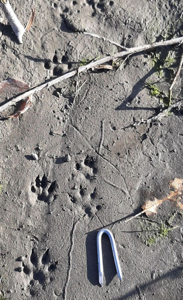
mink track, SnakesHead PNT 2024-10-03,Tony B. 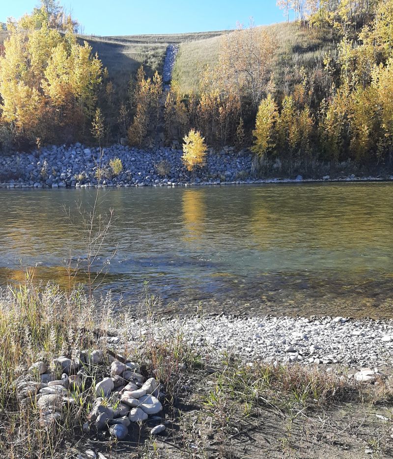
SnakesHead PNT 2024-10-03 fire ring on the river bank; looking West, Tony B. 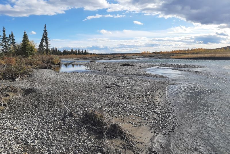
main channel and flood plain; looking South, SnakesHead PNT 2024-10-03,Tony B.
