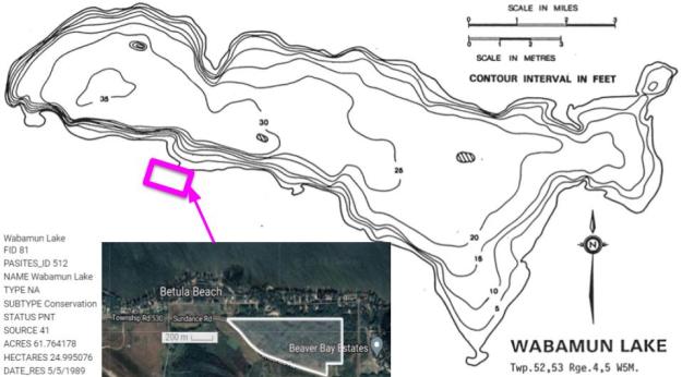
This small PNT is located near the west end of Wabamun Lake close to its southern shore. The site is south of Sundance Road and thus does not border directly on the lake.
- Map of the Area
- Other Information
- Biophysical Observations (via iNaturalist)
- Site Statistics
- References
- Further Reading
Map of the Area
Any maps and map views are for general information only. Do not rely on them for navigation or to determine legal boundaries.
Other Information
Wabamun Lake (sometimes spelled Wabumun) is one of the most heavily used lakes in Alberta. It lies 65 km west of Edmonton, is 19.2 km long and 6.6 km wide and covers 82 km2 with a maximum depth of 11 m. Its name derives from the Cree word for mirror, ᐋᐧᐸᒧᐣ (wâpamon) [1].
Extensive Development starting with the Grand Trunk Pacific Railway has impacted the ecology of the lake. An oil spill in 2005 and unauthorized development in 2011 are further examples of unplanned activities affecting the lake [1, 2].
Biophysical Observations (via iNaturalist)
Are you a member of iNaturalist.ca? It is free to join and you can help nature by making observations with your smart phone.
If there are no or only a few observations, how about visiting and adding some? While there, complete a site inspection report (but read the Site Inspections terms and conditions first).
Observations & Projects for this Natural Area
- Observations for this Natural Area.
- No iNaturalist Projects.
Site Statistics
| Site Name | Wabamun Lake (PNT) |
| Site Type | Natural Area |
| Subtype | Protective Notation (PNT) |
| Natural Region(s) | Dry Mixedwood |
| O.C. No. (Land Ref. Manual) | N/A |
| PASite ID (Map Ref #) | 512 |
| Site # (Parks Website) | N/A |
| Total Area | 25.00 ha. (61.76 ac.) |
| Steward-Status | |
| Recreation Activities | |
| IUCN | |
| Operated By | |
| Notes and Comments |
References
The following links are provided as a courtesy but are not verified or endorsed by SAPAA. Clicking on the link will cause you to leave the SAPAA website. Primary source of information is the Government of Alberta.(All links accessed on 2025-10-23).
Further Reading
- Alberta Parks, Information & Facilities – Wabamun Lake Provincial Park.
- Wabamun Lake Watershed Management Committee, Wabamun Lake Watershed Management Plan 2020.
Bench installed by local residents, Wabamun Lake NA, 2023-07-28 (P. Cotterill) 
Stile marking the Northwest Boundary Enterance, Wabamun Lake NA, 2023-07-28 (P.Cotterill) 
Rust Infestation, Saskatoons; Wabamun Lake NA 2023-07-28 (P. Cotterill) 
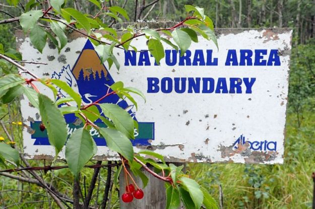
Wabamun Lake Natural Area – Frank P. Looks at Signage needing Replacing – 2023-07-28- PCotterill 
Obscured like the entrance to Batman’s lair, the entry point for quads into the PA. 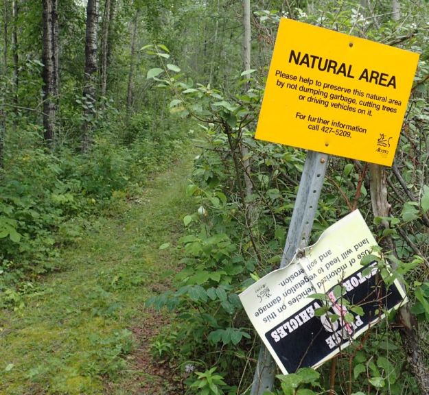
Signs marking the Southeast border of the PA, 2023-07-28 Wabamun NA, P. Potter. 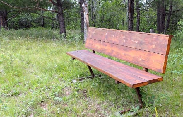
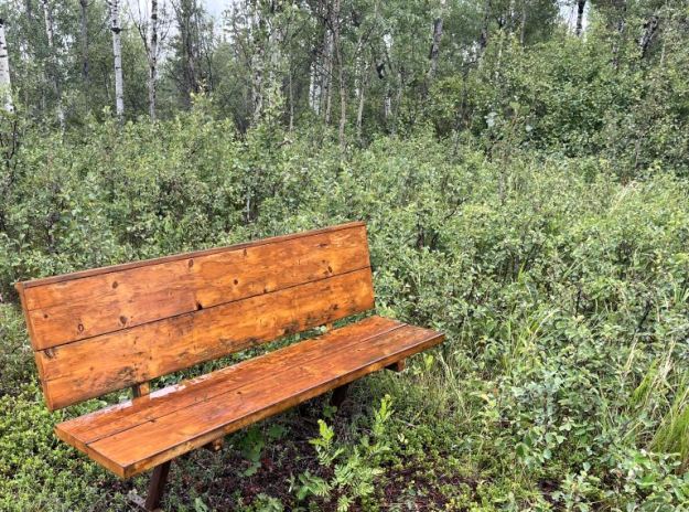
One of two benches in the PA. This one over looking Sundance road and facing southwest. 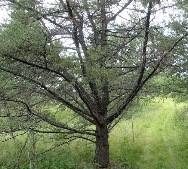
Jack Pine spreading its branches, southwest corner of , Wabamun Lake NA, 2023-07-28, P. Potter. 
Quad track that goes around the PA. This is about mid-way on the southern border (above Sundance Road), Wabamun Lake NA, 2023-07-28, P. Potter.
