Located about 35 km north of Hinton, the site is an excellent example of an upper foothills river valley shaped by glacial melt waters.
- Map of the Area
- Other Information
- Biophysical Observations (via iNaturalist)
- Site Statistics
- References
- Further Reading

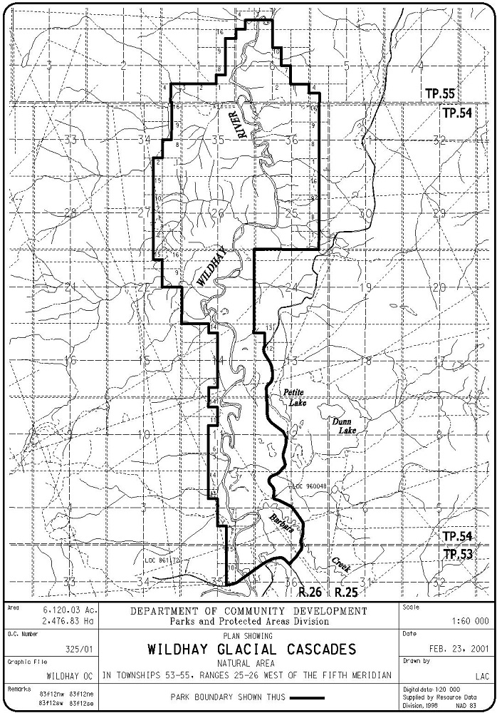
Map of the Area
Any maps and map views are for general information only. Do not rely on them for navigation or to determine legal boundaries.
Other Information
This Natural Area straddles the lower valley of the Wildhay River. It preserves a rugged area of highly eroded and dissected terrain along the river valley and includes diverse upland and wetland habitats. Deciduous, mixed and coniferous forests with stands of old-growth white spruce, balsam fir and lodgepole pine occur throughout the site. Wetland features in the area include fens, marshes, meadows and beaver ponds. The area features rolling, broken terrain and steep slopes patterned by glacial deposits. The vegetation communities in the area provide habitat for several ungulate and carnivore species.
Good Winter Feed for horses is what the area was known for when the Dominion Land Survey named the Wildhay River [2]. This site is close to but not adjoining Pinto Creek Canyon Natural Area.
Biophysical Observations (via iNaturalist)
Are you a member of iNaturalist.ca? It is free to join and you can help nature by making observations with your smart phone.
If there are no or only a few observations, how about visiting and adding some? While there, complete a site inspection report (but read the Site Inspections terms and conditions first).
Observations & Projects for this Natural Area
- Observations for this Natural Area.
- No iNaturalist Projects.
Site Statistics
| Site Name | Wildhay Glacial Cascades |
| Site Type | Natural Area |
| Subtype | Order-in-council (OC) |
| Natural Region(s) | Upper Foothills |
| O.C. No. (Land Ref. Manual) | 325/01 |
| PASite ID (Map Ref #) | 593 |
| Site # (Parks Website) | 572 |
| Total Area | 2476.83 ha. (6120.03 ac.) |
| Steward-Status | |
| Recreation Activities | Canoeing/kayaking, Fishing, Hiking – backcountry, Hunting, Wildlife viewing |
| IUCN | II |
| Operated By | Parks Division |
| Notes and Comments |
References
The following links are provided as a courtesy but are not verified or endorsed by SAPAA. Clicking on the link will cause you to leave the SAPAA website. Primary source of information is: Information & Facilities – Wildhay Glacial Cascades Natural Area | Alberta Parks (All links accessed on 2025-06-05).
- Alberta Government Fact Sheet, Wildhay Glacial Cascades Natural Area.
- Aubrey, Merrily K., ed. Concise Place Names of Alberta. Calgary: University of Calgary Press, 2006, p. 353.
