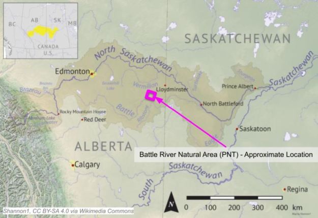
The site is located approximately 50 km west of the Alberta/Saskatchewan border and southwest of Lloydminister.
- Map of the Area
- Other Information
- Biophysical Observations (via iNaturalist)
- Site Statistics
- References
- Further Reading
Map of the Area
Any maps and map views are for general information only. Do not rely on them for navigation or to determine legal boundaries.
Other Information
Battle River is so named because of the beginning of a period of rivalry between the Iron Confederacy (Cree and Assiniboine) and the Blackfoot Confederacy. It was named as such on a map from 1802 and had a variety of names from different First Nations [1].
The Battle River stretches across more than half of Central Alberta. It starts southwest of Pigeon Lake and drains into the North Saskatchewan at North Battleford, Saskatchewan.
Battle River Basin starts in the area of Battle Lake and drains an area of 25,000 km2. Battle Lake Natural Area and Battle Lake South Natural Area (PNT) are on this lake. From here, the river flows southeast, collects water from Pigeon Lake Creek, turns northeast at the town of Ponoka and then receives water from Coal Lake. The river joins the North Saskatchewan near the city of North Battleford [2].
Biophysical Observations (via iNaturalist)
Are you a member of iNaturalist.ca? It is free to join and you can help nature by making observations with your smart phone.
If there are no or only a few observations, how about visiting and adding some? While there, complete a site inspection report (but read the Site Inspections terms and conditions first).
Observations & Projects for this Natural Area
- Observations for this Natural Area.
- No iNaturalist Projects.
Site Statistics
| Site Name | Battle River (PNT) |
| Site Type | Natural Area |
| Subtype | Protective Notation (PNT) |
| Natural Region(s) | Central Parkland |
| O.C. No. (Land Ref. Manual) | N/A |
| PASite ID (Map Ref #) | 148 |
| Site # (Parks Website) | N/A |
| Total Area | 128.15 ha. (316.65 ac.) |
| Steward-Status | |
| Recreation Activities | |
| IUCN | |
| Operated By | |
| Notes and Comments |
References
The following links are provided as a courtesy but are not verified or endorsed by SAPAA. Clicking on the link will cause you to leave the SAPAA website. Primary source of information is: Government of Alberta. All websites accessed 2022-11-19.
- Aubrey, Merrily K., ed. Concise Place Names of Alberta. Calgary: University of Calgary Press, 2006, p. 21.
- Mitchell, Patricia, and E. E. Prepas. 1990. “Atlas of Alberta Lakes.” Edmonton, Alberta: University of Alberta Press, p. 335.
