Situated approximately 4 km southwest of Battle Lake (not on Battle Lake itself), this quarter-section Natural Area is part rolling upland and part wetland.
- Map of the Area
- Other Information
- Biophysical Observations (via iNaturalist.ca)
- Site Statistics
- References and Further Information
- Site Inspections
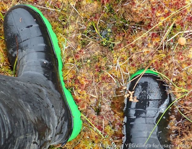
This site is dominated by a large wet area that runs NW to SE. Vibrant and full of life, an ATV track initially parallels the North border of the site. The site is relatively undisturbed save for the ATV track, partially regrown, and a dumped tractor. Lots of evidence of ungulates based on scat traces [1].
Map of the Area
Any maps and map views are for general information only. Do not rely on them for navigation or to determine legal boundaries.
Other Information
This Natural Area is part rolling upland and part wetland. In the uplands there are mixedwood communities with aspen poplar, white spruce, balsam poplar, lodgepole pine and birch; the lower-lying areas are mesic to wet with plant communities including birch/Labrador tea, tamarack–black spruce/Sphagnum, sedge meadows and willow shrubland (Alberta Parks website, 2012).
Biophysical Observations (via iNaturalist.ca)
Are you a member of iNaturalist.ca? It is free to join and you can help nature by making observations with your smart phone.
If there are no or only a few observations, how about visiting and adding some? While there, complete a site inspection report (but read the Site Inspections terms and conditions first).
Observations & Projects for this Natural Area
- Observations for this Natural Area.
- No iNaturalist Projects.
Site Statistics
| Site Name | Battle Lake |
| Site Type | Natural Area |
| Subtype | Order-in-council (OC) |
| Natural Region(s) | Central Mixedwood |
| O.C. No. (Land Ref. Manual) | 454/71 |
| PASite ID (Map Ref #) | 49 |
| Site # (Parks Website) | 435 |
| Total Area | 64.75 ha. (160.00 ac.) |
| Steward-Status | |
| Recreation Activities | none noted |
| IUCN | II |
| Operated By | Parks Division |
| Notes and Comments |
References and Further Information
The following links are provided as a courtesy but are not verified or endorsed by SAPAA. Clicking on the link will cause you to leave the SAPAA website. Primary source of information is: Government of Alberta – Information & Facilities – Battle Lake Natural Area | Alberta Parks (accessed 2022-02-16).
Site Inspections
- 2024-09-25: Battle Lake (NA); Phrank P. (unpublished)
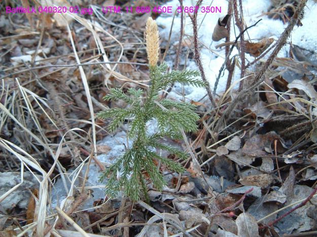
A club moss emerging from the winter snows, March 20, 2004 (TBlake) 
Boundary signs looking SW, NE corner, Battle Lake NA, 2024-09-25, P. Potter 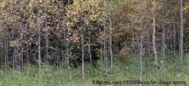
Can you spot the Boundary Sign, lost for the trees – looking west from RR 22, Battle Lake NA, 2024-09-25, P. Potter 
Two boundary signs at right angles to each other, NW corner – looking West from RR 22, Battle Lake NA, 2024-09-25, P. Potter 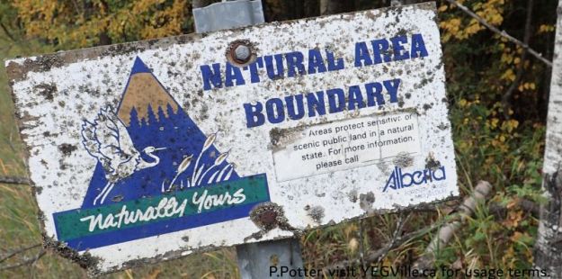
A sign that has seen better days, Battle Lake NA, 2024-09-25, P. Potter 
Looking SW into the site, walking along the ATV trac, Battle Lake NA, 2024-09-25, P. Potter 
ATV track leaving the site but not before damaging a wet area – looking West, Battle Lake NA, 2024-09-25, P. Potter 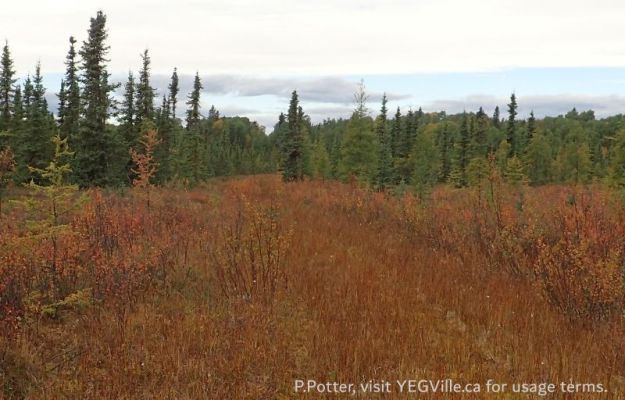
A large wet area in the NW corner of the site, Battle Lake NA, 2024-09-25, P. Potter 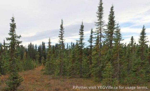
A cut line heading southwest from the wet area in the NW corner of the site, Battle Lake NA, 2024-09-25, P. Potter 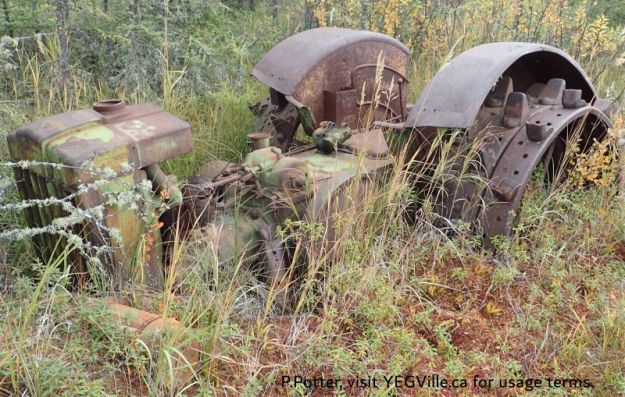
An abandoned tractor in the adjoining property but adjacent to the N border of the site, Battle Lake NA, 2024-09-25, P. Potter 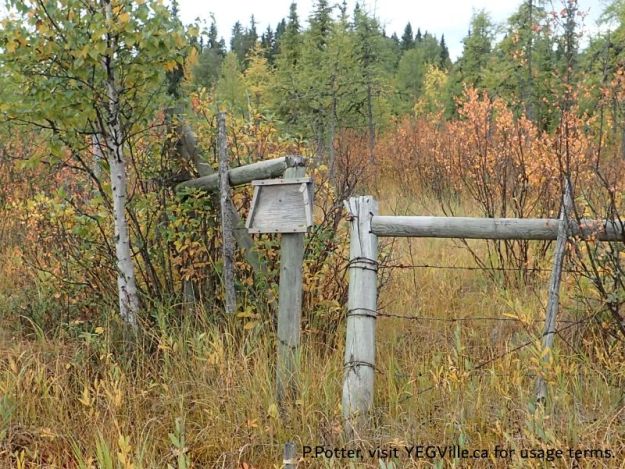
Looking SW into the adjoining property at the NW corner of the site, Battle Lake NA, 2024-09-25, P. Potter 
Puff ball fungus ready to burst and release its spores, Battle Lake NA, 2024-09-25, P. Potter 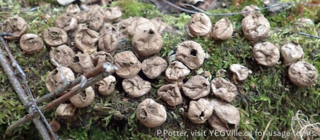
Colony of puff ball fungus, Battle Lake NA, 2024-09-25, P. Potter 
Route map, Battle Lake NA, 2024-09-25, P. Potter

Battle Lake NA is one of those sites oh so near, but not on, the object of its name. In this case, the site is about 5km southwest of the lake. There are a number of nearby NAs, check them out using the interactive map on this or other site’s pages.
LikeLike