Named for the central mountain with its distinctive beehive shape, this site lies between the Oldman River and the Alberta/British Columbia border, approximately 45 km north of the Crowsnest Pass area.
- Map of the Area
- Other Information
- Biophysical Observations (via iNaturalist.ca)
- Site Statistics
- References
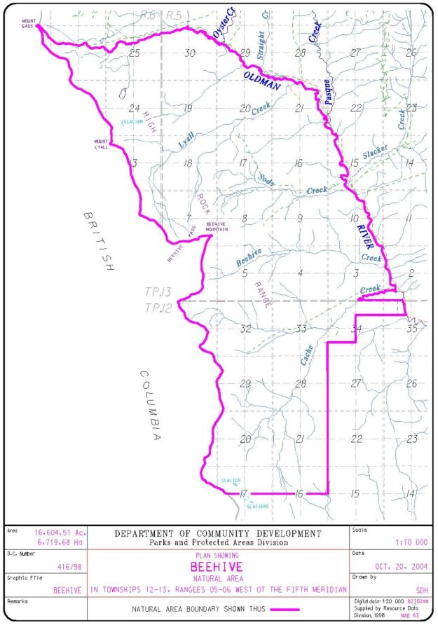
Map of the Area
Any maps and map views are for general information only. Do not rely on them for navigation or to determine legal boundaries.
Other Information
This site contains diverse habitats including alluvial plains of the Oldman River, alpine tundra and cliffs. The vegetation includes extensive old-growth spruce-fir forests that are believed to be more than 1000 years old; there are also lodgepole pine forests, grasslands and moist herb meadows in the area (Alberta Parks website, 2012).
Activities. A wide variety of activities are listed for the area including backcountry camping and hiking, birding, X-country skiing, fishing, horseback riding and hunting.
The Great Divide Trail runs through Beehive NA at treeline and crosses the Oldman River at the northern boundary of the site. The trail consists of an assortment of tracks, cutlines and roads.
BeeSKEP Mountain? Beehive mountain, located close to the centre of the site, is named for its rounded shape [1]. If you asked most people to draw a picture of where bees live and honey comes from, they would most likely draw a nearly square box. A beehive with a rounded shape is technically described as a skep. Still found on honey packaging and coats of arms, the skep has been largely replaced by the square boxes seen throughout the Alberta countryside [2].
Biophysical Observations (via iNaturalist.ca)
Are you a member of iNaturalist.ca? It is free to join and you can help nature by making observations with your smart phone.
If there are no or only a few observations, how about visiting and adding some? While there, complete a site inspection report (but read the Site Inspections terms and conditions first).
Observations & Projects for this Natural Area
- Observations for this Natural Area.
- No iNaturalist Projects.
Site Statistics
| Site Name | Beehive |
| Site Type | Natural Area |
| Subtype | Order-in-council (OC) |
| Natural Region(s) | Alpine; Subalpine |
| O.C. No. (Land Ref. Manual) | 416/98 current; 584/92 latest (previous) |
| PASite ID (Map Ref #) | 68 |
| Site # (Parks Website) | |
| Total Area | 6764.14 ha. (16,714.56 ac.) |
| Steward-Status | |
| Recreation Activities | Camping – backcountry, Birding, X-country skiing, Fishing, Hiking – backcountry, Horseback riding, Hunting |
| IUCN | IB |
| Operated By | Parks Division |
| Notes and Comments |
References
The following links are provided as a courtesy but are not verified or endorsed by SAPAA. Clicking on the link will cause you to leave the SAPAA website. Primary source of information is: Information & Facilities – Beehive Natural Area | Alberta Parks (2022-10-29).
- Peel Library. “Geographic Board of Canada, Place-Names of Alberta (1928).” Accessed January 23, 2022.
- Beehive – Wikipedia.
