Bigoray Natural Area is a quarter–section site east of, but not on, the Pembina River. The similarly named Pembina Bigoray Natural Area (PNT) is to the south and on the river.
- Map of the Area
- Other Information
- Biophysical Observations (via iNaturalist)
- Site Statistics
- References
- Further Reading
Map of the Area
Any maps and map views are for general information only. Do not rely on them for navigation or to determine legal boundaries.
Other Information
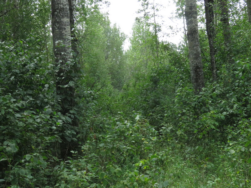
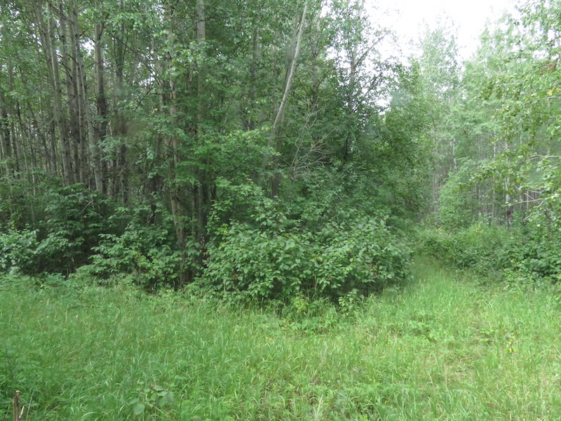
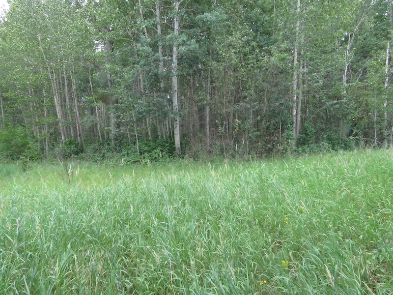
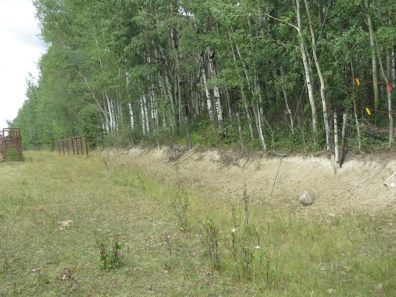
The Bigoray Natural Area encompasses an area of rolling topography. A wildfire ca. 2012 has resulted in vegetation that consists mainly of second-growth aspen. There are also remnant stands of mature aspen and aspen-balsam poplar (Alberta Parks website, 2012).
A River by Many Names. The Bigoray River flows into the Pembina River approximately due west of the site [1]. The Bigoray River was named in 1949 for William Bigoray who was killed in 1944 while serving with the Royal Canadian Air Force.
Prior to this, the river was known as Muskeg River (likely due to the large marshy area from which it flows). It has also been known to Europeans as Buffalo Creek and Buffalo Dung River [2].
Biophysical Observations (via iNaturalist)
Are you a member of iNaturalist.ca? It is free to join and you can help nature by making observations with your smart phone.
If there are no or only a few observations, how about visiting and adding some? While there, complete a site inspection report (but read the Site Inspections terms and conditions first).
Observations & Projects for this Natural Area
- Observations for this Natural Area.
- No iNaturalist Projects.
Site Statistics
| Site Name | Bigoray |
| Site Type | Natural Area |
| Subtype | Order-in-council (OC) |
| Natural Region(s) | Central Mixedwood |
| O.C. No. (Land Ref. Manual) | 454/71 |
| PASite ID (Map Ref #) | 141 |
| Site # (Parks Website) | 160 |
| Total Area | 64.75 ha. (160.00 ac.) |
| Steward-Status | |
| Recreation Activities | none noted |
| IUCN | II |
| Operated By | Parks Division |
| Notes and Comments |
References
The following links are provided as a courtesy but are not verified or endorsed by SAPAA. Clicking on the link will cause you to leave the SAPAA website. Primary source of information is: Information & Facilities – Bigoray Natural Area | Alberta Parks (2022-10-29).
- Wikipedia, List of Rivers of Alberta.
- Aubrey, Merrily K., ed. Concise Place Names of Alberta. Calgary: University of Calgary Press, 2006, p. 30.
