Located south of the Red Deer River and about 30 km west of Bowden, this Natural Area is named for the reported “highest point” between Calgary and Edmonton.
- Map of the Area
- Biophysical Observations (via iNaturalist)
- Other Information
- Site Statistics
- References
- Site Inspections
Map of the Area
Any maps and map views are for general information only. Do not rely on them for navigation or to determine legal boundaries.
Biophysical Observations (via iNaturalist)
Are you a member of iNaturalist.ca? It is free to join and you can help nature by making observations with your smart phone.
If there are no or only a few observations, how about visiting and adding some? While there, complete a site inspection report (but read the Site Inspections terms and conditions first).
Observations & Projects for this Natural Area
- Observations for this Natural Area.
- No iNaturalist Projects.
Other Information
Eagle Hill is an unincorporated community west of Bowden [1]. The nearby hill for which the community and PNT are named is reported to be the highest point between Calgary and Edmonton. Eagles nesting in this location was the reputed inspiration for the name [2], although a forest fire in 1898 disrupted this behaviour pattern and the eagles were said to have disappeared [3].
Site Statistics
| Site Name | Eagle Hill (PNT) |
| Site Type | Natural Area |
| Subtype | Protective Notation (PNT) |
| Natural Region(s) | Dry Mixedwood |
| O.C. No. (Land Ref. Manual) | N/A |
| PASite ID (Map Ref #) | 407 |
| Site # (Parks Website) | N/A |
| Total Area | 64.65 ha. (159.75 ac.) |
| Steward-Status | |
| Recreation Activities | |
| IUCN | |
| Operated By | |
| Notes and Comments |
References
The following links are provided as a courtesy but are not verified or endorsed by SAPAA. Clicking on the link will cause you to leave the SAPAA website. Primary source of information is: Government of Alberta.
- Wikipedia, Eagle Hill, Alberta.
- University of Calgary Digital Collections, History of Eagle Hill, p. 22.
- Aubrey, Merrily K., ed. Concise Place Names of Alberta. Calgary: University of Calgary Press, 2006, p.100.
Site Inspections
(On smart phones, swipe to view all pictures)
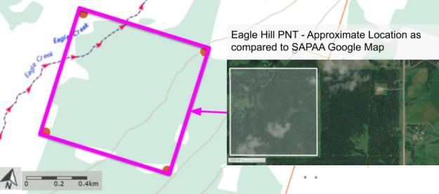
Topographical map of Eagle Hill (PNT); red circle is the approximate center of the site. Image courtesy of https://atlas.gc.ca/toporama. 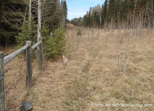
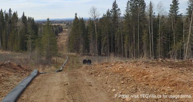
Looking north along the cutline from the southeast corner of Eagle Hill Natural Area, 2024-05-05, P. Potter. 
Gate access to the NA in the southeast corner of Eagle Hill Natural Area, 2024-05-05, P. Potter. 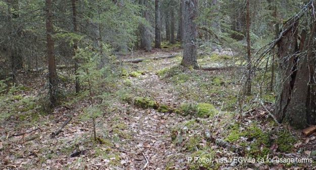
Numerous well worn animal tracks crisscross Eagle Hill Natural Area, 2024-05-05, P. Potter. 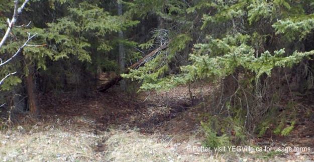
ATV track heading north into Eagle Hill Natural Area, 2024-05-05, P. Potter. 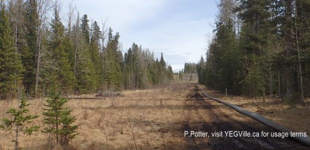
Looking east along the cutline that parallels the southern border Eagle Hill Natural Area, 2024-05-05, P. Potter. 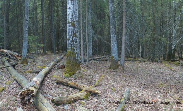
Typical mix forest under story, adjacent land to the south of Eagle Hill Natural Area, 2024-05-05, P. Potter. 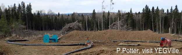
Looking northwest from the adjoining property towards Eagle Hill Natural Area, 2024-05-05, P. Potter.
