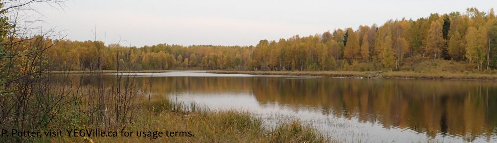
Encompassing Spruce Island Lake and a number of smaller waterbodies, this Natural Area is about 40 km north of Westlock and 90 km north of Edmonton. The lake appears to have no permanent inlet or outlet.
Map of the Area
Any maps and map views are for general information only. Do not rely on them for navigation or to determine legal boundaries.
Other Information
Spruce Island Lake Natural Area consists of gently rolling terrain around Spruce Island Lake, Horseshoe Lake and numerous smaller water bodies and wetlands. Long Island Lake, directly to the south, has several recreational facilities.
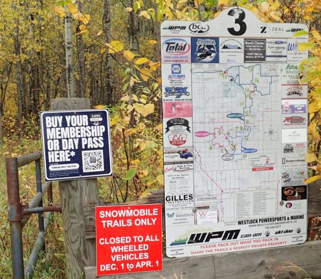
The Alberta Snowmobile Association has a Crown lease on the site. Access to the site is open to the public off season (April 1 to November 30). Foot access is not recommended in season due to the presence of riders and groomers [1].
Biophysical Observations (via iNaturalist)
Are you a member of iNaturalist.ca? It is free to join and you can help nature by making observations with your smart phone.
If there are no or only a few observations, how about visiting and adding some? While there, complete a site inspection report (but read the Site Inspections terms and conditions first).
Observations & Projects for this Natural Area
- Observations for this Natural Area.
- No iNaturalist Projects.
Site Statistics
| Site Name | Spruce Island Lake |
| Site Type | Natural Area |
| Subtype | Order-in-council (OC) |
| Natural Region(s) | Central Mixedwood |
| O.C. No. (Land Ref. Manual) | 584/92 |
| PASite ID (Map Ref #) | 396 |
| Site # (Parks Website) | 487 |
| Total Area | 825.73 ha. (2040.40 ac.) |
| Steward-Status | |
| Recreation Activities | none noted |
| IUCN | II |
| Operated By | Parks Division |
| Notes and Comments |

References
The following links are provided as a courtesy but are not verified or endorsed by SAPAA. Clicking on the link will cause you to leave the SAPAA website. Primary source of information is: Information & Facilities – Spruce Island Lake Natural Area | Alberta Parks (All links accessed on 2025-04-30).
- Chris Brooks, “ASA – Spruce Island Lake NA,” October 1, 2025.
