Tawatinaw is a First Nations word meaning ‘river valley’ [1]. This large Natural Area, located about 40 km northeast of Westlock, is composed of two nearby but not adjoining parcels of land. The intervening land is private.
- Map of the Area
- Other Information
- Biophysical Observations (via iNaturalist.ca)
- Site Statistics
- References
- Further Reading
- Site Inspections
- Image Gallery

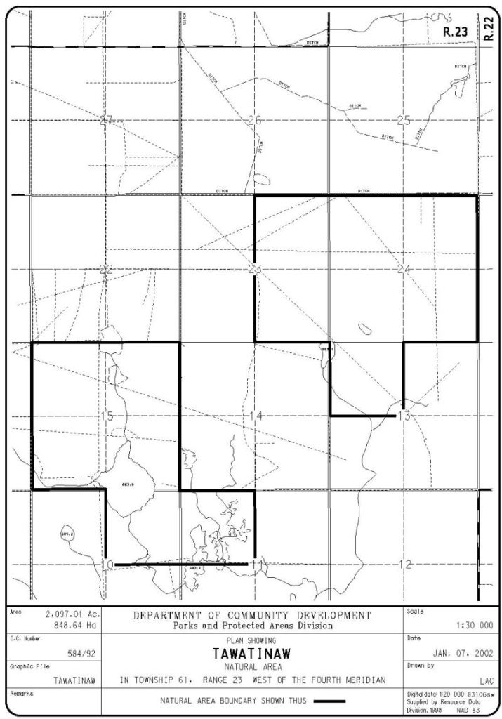
Map of the Area
Any maps and map views are for general information only. Do not rely on them for navigation or to determine legal boundaries.
Other Information
Tawatinaw Natural Area contains a variety of wetlands, including some extensive peatlands. The site lies in the Boreal Forest Natural Region, Dry Mixedwood Subregion. The Natural Area is located east of the ski hill with the same name [2].
Biophysical Observations (via iNaturalist.ca)
Are you a member of iNaturalist.ca? It is free to join and you can help nature by making observations with your smart phone.
If there are no or only a few observations, how about visiting and adding some? While there, complete a site inspection report (but read the Site Inspections terms and conditions first).
Observations & Projects for this Natural Area
- Observations for this Natural Area.
- No iNaturalist Projects.
Site Statistics
| Site Name | Tawatinaw |
| Site Type | Natural Area |
| Subtype | Order-in-council (OC) |
| Natural Region(s) | Dry Mixedwood |
| O.C. No. (Land Ref. Manual) | 584/92 |
| PASite ID (Map Ref #) | 519 |
| Site # (Parks Website) | 488 |
| Total Area | 841.75 ha. (2079.96 ac.) |
| Steward-Status | |
| Recreation Activities | none noted |
| IUCN | II |
| Operated By | Parks Division |
| Notes and Comments |
References
The following links are provided as a courtesy but are not verified or endorsed by SAPAA. Clicking on the link will cause you to leave the SAPAA website. Primary source of information is: Government of Alberta – Information & Facilities – Tawatinaw Natural Area | Alberta Parks (2025-05-15).
- Aubrey, Merrily K., ed. Concise Place Names of Alberta. Calgary: University of Calgary Press, 2006; p. 319.
- Tawatina Valley Ski Hill Resort
Further Reading
Site Inspections
Image Gallery
Wetland with Birch, Tawatinaw NA, 2024-10-07, P. Cotterill. 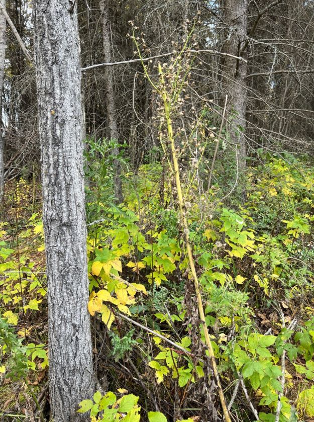
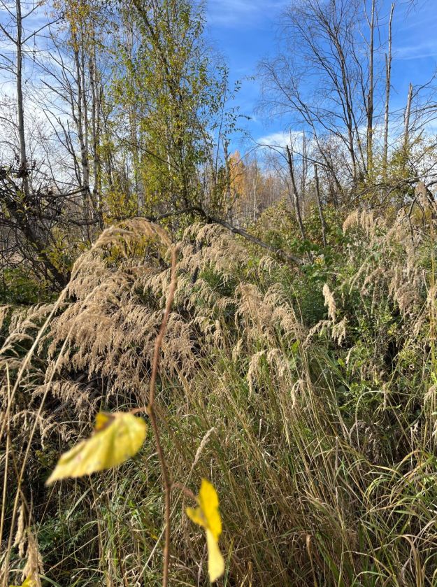
Tall Blue Lettuce, Tawatinaw NA, 2024-10-07, P. Cotterill. 
Marchantia polymorpha liverwort, Tawatinaw NA, 2024-10-07, P. Cotterill. 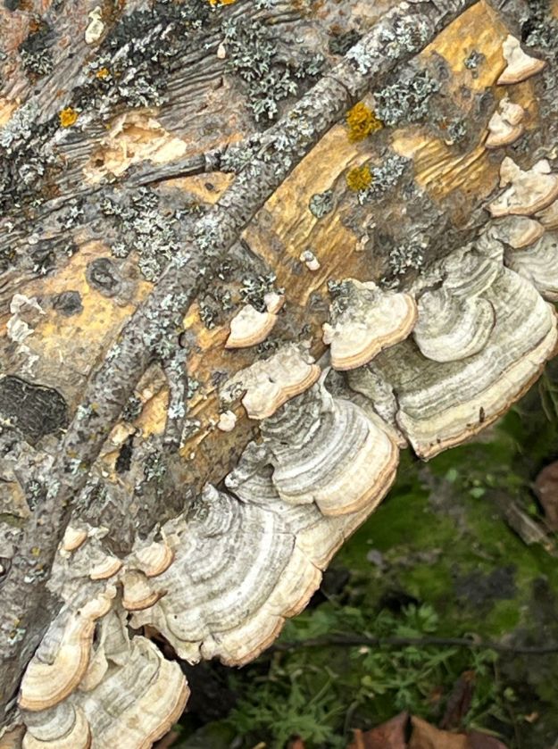
Bracket fungi, Tawatinaw NA, 2024-10-07, P. Cotterill. 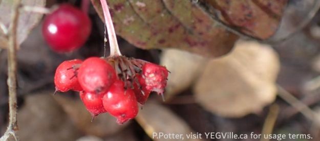
Berries ready to be eaten (and dispersed), Tawatinaw NA, 2024-10-07, P. Potter. 
Looking SW across one of the two small ponds in the area, Tawatinaw NA, 2024-10-07, P. Potter. 
A beaver run about a metre below the surrounding area – great for breaking legs, Tawatinaw NA, 2024-10-07, P. Potter. 
Looking east across the initial wet area near RR 232; note the well defined animal track bottom right, Tawatinaw NA, 2024-10-07, P. Potter. 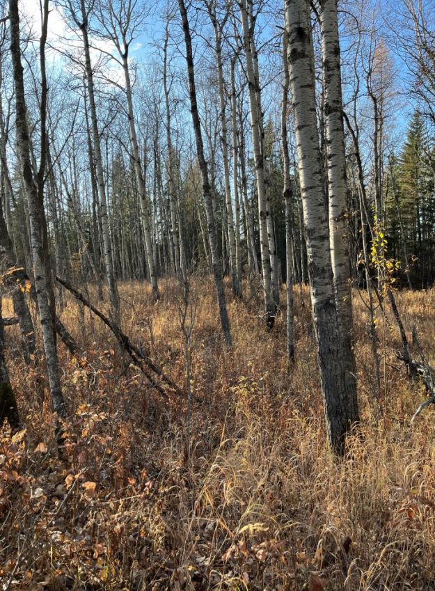
Tawatinaw NA aspen woods 2023-10-13 PCotterill 
Tawatinaw NA view from roadside 2023-10-13 PCotterill

Sometimes a name sounds more exotic than it actually is. With its multiple syllabus and repeating letters, this name, based on a First Nation word, sounds strange to a native English speaker. So what does it mean? It translates to simply ‘valley’ and is descriptive for Tawatinaw River Valley. Exotic sounding or not – still a place to go and visit!
LikeLike