This large and irregularly shaped Natural Area is located about 35 km northeast of Nordegg with no apparent public road access.
- Map of the Area
- Other Information
- Biophysical Observations (via iNaturalist.ca)
- Site Statistics
- References
Map of the Area
Any maps and map views are for general information only. Do not rely on them for navigation or to determine legal boundaries.
Other Information
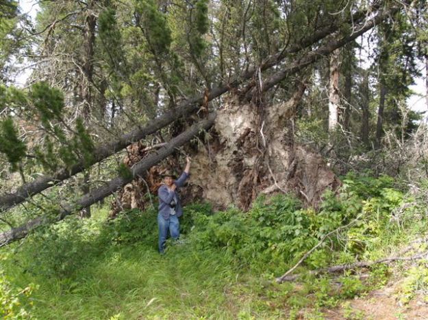
This site protects a steep north-facing escarpment that contains Cordilleran species such as devil’s club, native mountain-ash and red elderberry. Plant communities include white spruce-lodgepole pine forest, poplar stands, shrublands and mesic and dry meadows.
Dawn Wind. The aurora borealis, or northern lights, was studied by ancient Roman and Greek astronomers. The phenomenon was named for the Roman goddess of the dawn, Aurora, and the Greek god of the north wind, Boreas [1].
Biophysical Observations (via iNaturalist.ca)
Are you a member of iNaturalist.ca? It is free to join and you can help nature by making observations with your smart phone.
If there are no or only a few observations, how about visiting and adding some? While there, complete a site inspection report (but read the Site Inspections terms and conditions first).
Observations & Projects for this Natural Area
- Observations for this Natural Area.
- No iNaturalist Projects.
Site Statistics
| Site Name | Aurora |
| Site Type | Natural Area |
| Subtype | Order-in-council (OC) |
| Natural Region(s) | Upper Foothills/ Lower Foothills |
| O.C. No. (Land Ref. Manual) | 584/92 |
| PASite ID (Map Ref #) | 466 |
| Site # (Parks Website) | 524 |
| Total Area | 906.69 ha. (2240.49 ac.) |
| Steward-Status | |
| Recreation Activities | none noted |
| IUCN | II |
| Operated By | Parks Division |
| Notes and Comments |
References
The following links are provided as a courtesy but are not verified or endorsed by SAPAA. Clicking on the link will cause you to leave the SAPAA website. Primary source of information is: Information & Facilities – Aurora Natural Area | Alberta Parks (All links accessed on 2023-01-21).

Located north of Nordegg, this NA exists but you might not be able to visit. There are no apparent roads into it. So, like its name sake dancing over the northern nights, it is there but just so out of reach…
LikeLike