Beaverhill Natural Area (NA) adjoins the Beaverhill Lake Heritage Rangeland Natural Area to the north and together they form a 18,000 ha preserve for flora, birds and other fauna.

- Map of the Area
- Other Information
- Biophysical Observations (via iNaturalist.ca)
- Site Statistics
- References
- Further Reading
Map of the Area
Any maps and map views are for general information only. Do not rely on them for navigation or to determine legal boundaries.
Other Information
SOUTH SHORE: This site protects the islands and part of the south shore of Beaverhill Lake; the extensive shoreline and variety of marshes, fields and aspen woods adjoining the lake provide a wide range of habitats. The site is known for its diversity of bird species, and the Beaverhill Lake Bird Observatory (BBO) has conducted bird-banding operations since the 1980s. There are excellent opportunities each spring and autumn to view hundreds of migrating waterfowl and shorebirds, songbirds, and hawks; double crested cormorants & pelicans nest on the islands when water levels are favourable (Alberta Parks web site, 2012).
The BBO received the Outstanding Group Steward Award from Alberta Parks in September 2007 for their work for not only this NA but also the adjoining Beaverhill Lake Heritage Rangeland Natural Area.
Biophysical Observations (via iNaturalist.ca)
Are you a member of iNaturalist.ca? It is free to join and you can help nature by making observations with your smart phone.
If there are no or only a few observations, how about visiting and adding some? While there, complete a site inspection report (but read the Site Inspections terms and conditions first).
Observations & Projects for this Natural Area
- Observations for this Natural Area.
- No iNaturalist Projects.
Site Statistics
| Site Name | Beaverhill |
| Site Type | Natural Area |
| Subtype | Order-in-council (OC) |
| Natural Region(s) | Central Parkland |
| O.C. No. (Land Ref. Manual) | 378/87 |
| PASite ID (Map Ref #) | 87 |
| Site # (Parks Website) | 425 |
| Total Area | 410.00 ha. (1013.11 ac.) |
| Steward-Status | |
| Recreation Activities | none noted |
| IUCN | II |
| Operated By | Parks Division |
| Notes and Comments |
References
The following links are provided as a courtesy but are not verified or endorsed by SAPAA. Clicking on the link will cause you to leave the SAPAA website. Primary source of information is: Government of Alberta – Information & Facilities – Beaverhill Natural Area | Alberta Parks (2022-02-07) .
Further Reading
- Beaverhill Lake Heritage Rangeland Natural Area (SAPAA website)
- SAPAA Newsletter No.34 September 2016, pp. 3-4
- SAPAA Newsletter No. 41 January 2022, pp. 6-7.

Signpost and trail sign-Beaverhill Natural Area-2022-09-03-(PCotterill) 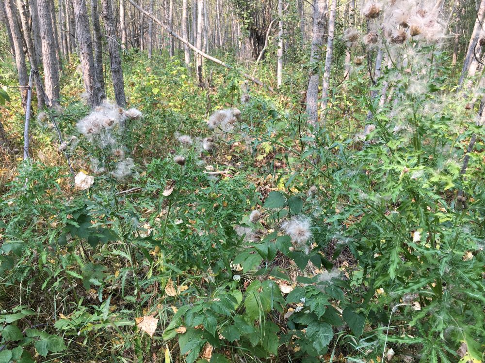
Aspen forest with Canada thistle understory-Beaverhill Natural Area-2022-09-03-(PCotterill) 
Beaverhill Lake Viewpoint Sign-Beaverhill Lake Natural Area-2022-09-03-(PCotterill) 
Shoreline of Lister Lake showing non-native grasses and Canada thistle-Beaverhill Natural Area-2022-09-03-(PCotterill) 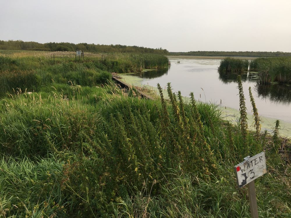
Shore of Lister Lake at weir-Beaverhill Natural Area – 2022-09-03-(PCotterill) 
View of Lister Lake -Beaverhill Natural Area – 2022-09-03-(PCotterill) 
Map showing area between Lister and Beaverhill Lakes and the Beaverhill Bird Observatory-Beaverhill Natural Area-2022-09-03-(PCotterill)

Sometimes a protected area stands in isolation, a lonely sentinel against an onslaught of development. Other times, an area is part of a local system or complex. Beaverhill Natural Area is an example of this. Located in the southern point of the larger Beaverhill ecosystem. The creatures who live their and visitors are unlikely to notice the difference in land designation, however.
LikeLike