This NA, 90 km south of Fort Vermilion, looks like a scene from Dante’s Inferno, with bitter-smelling steam and smoke billowing from rock debris along the Muddy River.
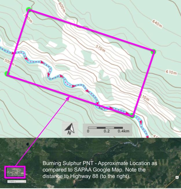
Map of the Area
Any maps and map views are for general information only. Do not rely on them for navigation or to determine legal boundaries.
Biophysical Observations (via iNaturalist)
Are you a member of iNaturalist.ca? It is free to join and you can help nature by making observations with your smart phone.
If there are no or only a few observations, how about visiting and adding some? While there, complete a site inspection report (but read the Site Inspections terms and conditions first).
Observations & Projects for this Natural Area
- Observations for this Natural Area.
- No iNaturalist Projects.
Other Information
On the east slopes of the Buffalo Head Hills, about 90 kilometres south of Fort Vermillion, bitter-smelling steam and smoke billows from rock debris that has slumped down the hillside. The steam is formed as the underlying bedrock of iron sulphide-rich marine shales oxidizes and produces great heat. Although not a common phenomenon, evidence of this process can also be seen along the Smoky and Peace rivers as well as in the “Smoking Hills” of the Arctic coast.
The local bedrock is Cretaceous marine shale, which normally is impermeable, but slumping along the river banks continues to produce a number of fractures in the shale. Once exposed to air along these fractures, the iron-sulphide minerals, such as pyrite, quickly oxidize and create temperatures of over 300ºC. This heat bakes the nearby shale to a bright brick-red. Any groundwater that trickles down through fractures is quickly heated and turned into steam. Around the vents of escaping steam, native sulphur seeps through the fractured shale to solidify on the surface. Some of these sulphur seeps are currently burning and produce a very strong sour smell – a regular witch’s brew!
In cooler weather, the smoke and steam lie in the river valleys as a heavy haze which early French Canadian fur traders called “boucanne” meaning clouds of smoke. [1]!
Site Statistics
| Site Name | Burning Sulphur (PNT) |
| Site Type | Natural Area |
| Subtype | Protective Notation (PNT) |
| Natural Region(s) | Central Mixedwood; Lower Boreal Highlands |
| O.C. No. (Land Ref. Manual) | N/A |
| PASite ID (Map Ref #) | 548 |
| Site # (Parks Website) | N/A |
| Total Area | 127.91 ha. (316.08 ac.) |
| Steward-Status | |
| Recreation Activities | |
| IUCN | |
| Operated By | |
| Notes and Comments |
References
The following links are provided as a courtesy but are not verified or endorsed by SAPAA. Clicking on the link will cause you to leave the SAPAA website. Primary source of information is the Government of Alberta.
- Mussieux, Ron, and Marilyn Nelson. A Traveller’s Guide to Geological Wonders in Alberta. Repr. Edmonton: Provincial Museum of Alberta, 2005, p. 38.
