Within walking distance of the community of Coleman, this PNT includes the trail to Star Creek Falls.
- Map of the Area
- Biophysical Observations (via iNaturalist)
- Other Information
- Site Statistics
- References
- Further Reading
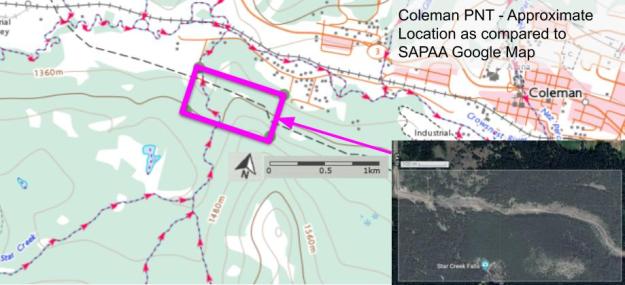
Map of the Area
Any maps and map views are for general information only. Do not rely on them for navigation or to determine legal boundaries.
Biophysical Observations (via iNaturalist)
Are you a member of iNaturalist.ca? It is free to join and you can help nature by making observations with your smart phone.
If there are no or only a few observations, how about visiting and adding some? While there, complete a site inspection report (but read the Site Inspections terms and conditions first).
Observations & Projects for this Natural Area
- Observations for this Natural Area.
- No iNaturalist Projects.
Other Information
This PNT includes the hike to Star Creek Falls. This is a short 2.5 km loop leading to two viewpoints along the ridge of a 75-m canyon overlooking the falls. There are views of Crowsnest Mountain and the High Rock Range in the background [1].
Site Statistics
| Site Name | Coleman (PNT) |
| Site Type | Natural Area |
| Subtype | Protective Notation (PNT) |
| Natural Region(s) | Montane |
| O.C. No. (Land Ref. Manual) | N/A |
| PASite ID (Map Ref #) | 58 |
| Site # (Parks Website) | N/A |
| Total Area | 32.36 ha. (79.95 ac.) |
| Steward-Status | |
| Recreation Activities | |
| IUCN | |
| Operated By | |
| Notes and Comments |
References
The following links are provided as a courtesy but are not verified or endorsed by SAPAA. Clicking on the link will cause you to leave the SAPAA website. Primary source of information is: Government of Alberta (All links accessed on 2022-MM-DD).
