About 40 km southwest of High River in southern Alberta, this L-shaped natural area abuts the southeast corner of Eden Valley Indian Reserve 216.
- Map of the Area
- Other Information
- Biophysical Observations (via iNaturalist.ca)
- Site Statistics
- References
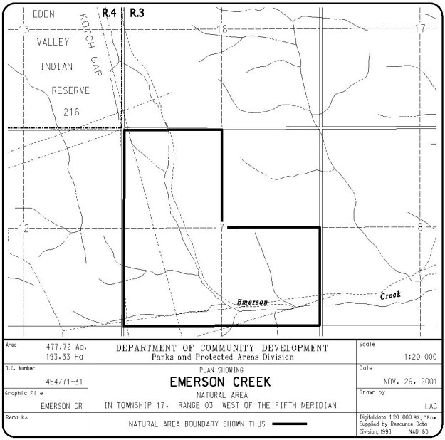
Map of the Area
Any maps and map views are for general information only. Do not rely on them for navigation or to determine legal boundaries.
Other Information
This natural area consists of a creek valley-to-ridge-top landscape that contains diverse vegetation communities. Limber pine is found along ridge tops while grasslands with groves of aspen and stands of white spruce are found on slopes. There are also beaver ponds and wetlands along Emerson Creek.
Eden Valley Reserve (216), established in 1958, takes its name from the former ranch on the property which is believed to have been descriptive of the valley [1].
Biophysical Observations (via iNaturalist.ca)
Are you a member of iNaturalist.ca? It is free to join and you can help nature by making observations with your smart phone.
If there are no or only a few observations, how about visiting and adding some? While there, complete a site inspection report (but read the Site Inspections terms and conditions first).
Observations & Projects for this Natural Area
- Observations for this Natural Area.
- No iNaturalist Projects.
Site Statistics
| Site Name | Emerson Creek |
| Site Type | Natural Area |
| Subtype | Order-in-council (OC) |
| Natural Region(s) | Montane |
| O.C. No. (Land Ref. Manual) | 454/71 |
| PASite ID (Map Ref #) | 367 |
| Site # (Parks Website) | 511 |
| Total Area | 193.33 ha. (477.72 ac.) |
| Steward-Status | |
| Recreation Activities | none noted |
| IUCN | II |
| Operated By | Parks Division |
| Notes and Comments |
References
The following links are provided as a courtesy but are not verified or endorsed by SAPAA. Clicking on the link will cause you to leave the SAPAA website. Primary source of information is: Information & Facilities – Emerson Creek Natural Area | Alberta Parks (All links accessed on 2022-11-27).
- Aubrey, Merrily K., ed. Concise Place Names of Alberta. Calgary: University of Calgary Press, 2006.
