Matthews Crossing Natural Area lies approximately 18 km northwest of the western tip of Lake Wabamun (12 km north-northwest of the hamlet of Gainford) in the Boreal Forest Natural Region, Dry Mixedwood Subregion. It is named for a nearby ford and later the ferry operating downstream from the NA.
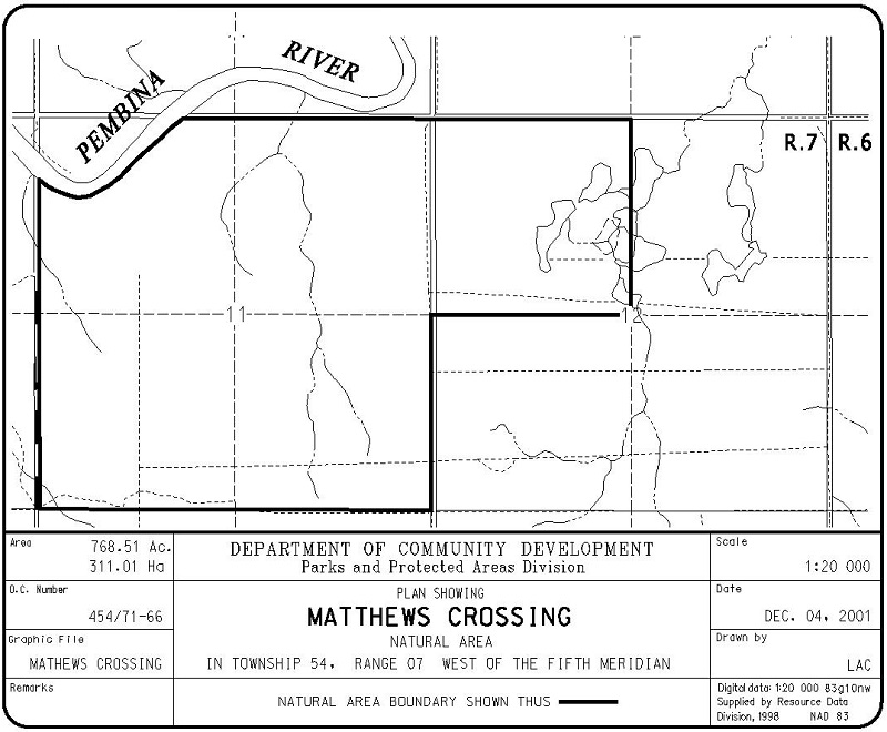
Map of the Area
Any maps and map views are for general information only. Do not rely on them for navigation or to determine legal boundaries.
Other Information
Matthews Crossing Natural Area contains rolling terrain and a portion of the steep banks of the Pembina River, with wetlands in depressions, aspen forest on the uplands and mixed aspen-balsam poplar on the river bank and near wetlands (Alberta Parks website, 2012).
NAME ORIGIN. This river crossing was used by Indigenous people and packers before it was named. A pack trail, known as Jock’s Trail, left the west end of Isle Lake and crossed the Pembina at this location. A post office was established on the east side of the river in 1913 and operated until 1923. It was named for M. H. Matthews, the first postmaster. In about 1920, a ferry was installed at Matthews Crossing and a succession of returned WWI veterans served as ferrymen. Eventually the ferry was moved down-river to Sangudo [1].
Biophysical Observations (via iNaturalist)
Are you a member of iNaturalist.ca? It is free to join and you can help nature by making observations with your smart phone.
If there are no or only a few observations, how about visiting and adding some? While there, complete a site inspection report (but read the Site Inspections terms and conditions first).
Observations & Projects for this Natural Area
- Observations for this Natural Area.
- No iNaturalist Projects.
Site Statistics
| Site Name | Matthews Crossing |
| Site Type | Natural Area |
| Subtype | Order-in-council (OC) |
| Natural Region(s) | Dry Mixedwood |
| O.C. No. (Land Ref. Manual) | 454/71 |
| PASite ID (Map Ref #) | 136 |
| Site # (Parks Website) | 547 |
| Total Area | 310.68 ha. (767.68 ac.) |
| Steward-Status | |
| Recreation Activities | hiking – front country, hunting |
| IUCN | II |
| Operated By | Parks Division |
| Notes and Comments |
References
The following links are provided as a courtesy but are not verified or endorsed by SAPAA. Clicking on the link will cause you to leave the SAPAA website. Primary source of information is: Government of Alberta – Information & Facilities – Matthews Crossing Natural Area | Alberta Parks (2026-02-04).

Getting across a river before bridges could have been challenging. It was important to know where a ford was possible, such as Matthew’s crossing!
LikeLike