Located about 1 km west of the Drayton Valley airport, this site appears to be increasingly surrounded by suburban and acreage development. An unnamed creek passes through the Natural Area in the southwest corner.
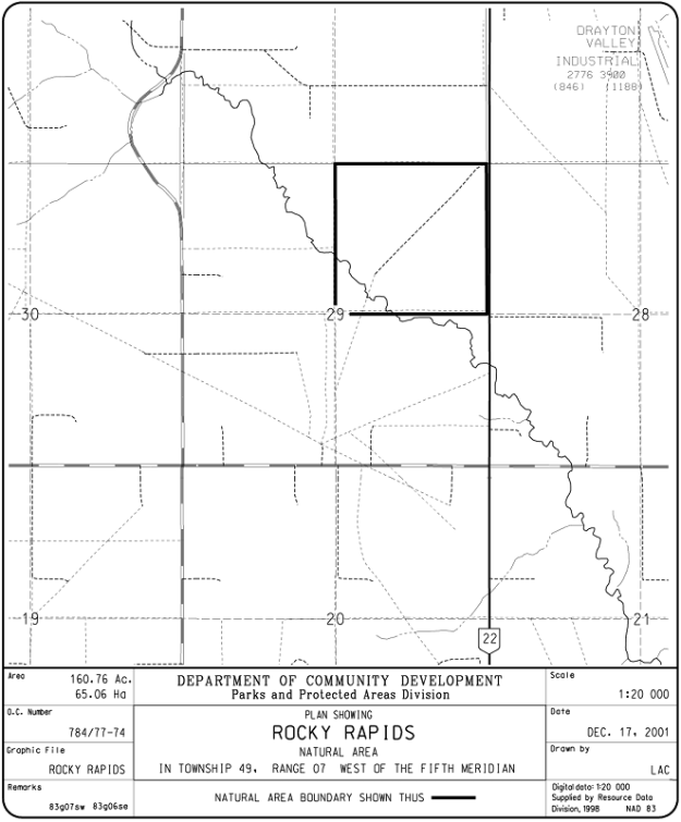
Map of the Area
Any maps and map views are for general information only. Do not rely on them for navigation or to determine legal boundaries.
Other Information
Rocky Rapids Natural Area has moderately undulating terrain covered mainly with mixedwood forest of aspen, white spruce, scattered paper birch, lodgepole pine and balsam poplar. There are also areas of willow shrubland and wet meadow.
Nearby Rapids in the North Saskatchewan inspired the name of the locality chosen by the first postmaster in 1909 [1]. The distance to the North Saskatchewan River where the extensive Blue Rapids Provincial Recreation Area is located is about 5 km. A pedestrian pathway links the hamlet of Rocky Rapids with nearby Drayton Valley [2].
Biophysical Observations (via iNaturalist)
Are you a member of iNaturalist.ca? It is free to join and you can help nature by making observations with your smart phone.
If there are no or only a few observations, how about visiting and adding some? While there, complete a site inspection report (but read the Site Inspections terms and conditions first).
Observations & Projects for this Natural Area
- Observations for this Natural Area.
- No iNaturalist Projects.
Site Statistics
| Site Name | Rocky Rapids |
| Site Type | Natural Area |
| Subtype | Order-in-council (OC) |
| Natural Region(s) | Central Mixedwood; Dry Mixedwood |
| O.C. No. (Land Ref. Manual) | 784/77 |
| PASite ID (Map Ref #) | 494 |
| Site # (Parks Website) | 564 |
| Total Area | 65.06 ha. (160.76 ac.) |
| Steward-Status | |
| Recreation Activities | Hiking – front country, Horseback riding, Mountain biking/cycling |
| IUCN | II |
| Operated By | Parks Division |
| Notes and Comments |
References
The following links are provided as a courtesy but are not verified or endorsed by SAPAA. Clicking on the link will cause you to leave the SAPAA website. Primary source of information is: Information & Facilities – Rocky Rapids Natural Area | Alberta Parks (All links accessed on 2025-04-23).
- Aubrey, Merrily K., ed. Concise Place Names of Alberta. Calgary: University of Calgary Press, 200, p. 278.
- Wikipedia, Rocky Rapids.
