This is one of three Natural Areas (Hondo and Otauwau being the others) located close to each other (within 15 km) in the Lesser Slave River watershed, about 80 km northwest of the town of Athabasca. They are all used for research and study by the University of Alberta.
- Map of the Area
- Other Information
- Biophysical Observations (via iNaturalist)
- Site Statistics
- References
- Further Reading

Map of the Area
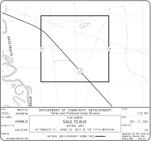
Any maps and map views are for general information only. Do not rely on them for navigation or to determine legal boundaries.
Other Information
Hondo, Saulteaux and Otauwau NAs are in close proximity to each other, separated by about 5-10 km. The University of Alberta uses these sites as they represent a diversity of forest communities within easy access of Highway 2. The terrain is undulating to gently undulating with depressional areas. Vegetation includes lowland black spruce fens and upland mature white spruce forests. The area provides excellent habitat for wildlife.
Saulteaux are members of the Ojibwa nation who are typically associated with the Great Lakes in Ontario. They may have travelled west in search of better hunting and fur trade opportunities. The name for the Saulteaux River was approved in 1906 [1].
Biophysical Observations (via iNaturalist)
Are you a member of iNaturalist.ca? It is free to join and you can help nature by making observations with your smart phone.
If there are no or only a few observations, how about visiting and adding some? While there, complete a site inspection report (but read the Site Inspections terms and conditions first).
Observations & Projects for this Natural Area
- Observations for this Natural Area.
- No iNaturalist Projects.
Site Statistics
| Site Name | Saulteaux |
| Site Type | Natural Area |
| Subtype | Order-in-council (OC) |
| Natural Region(s) | Central Mixedwood |
| O.C. No. (Land Ref. Manual) | 416/98 |
| PASite ID (Map Ref #) | 477 |
| Site # (Parks Website) | 503 |
| Total Area | 244.87 ha. (605.07 ac.) |
| Steward-Status | |
| Recreation Activities | none noted |
| IUCN | II |
| Operated By | Parks Division |
| Notes and Comments |
References
The following links are provided as a courtesy but are not verified or endorsed by SAPAA. Clicking on the link will cause you to leave the SAPAA website. Primary source of information is Information & Facilities – Saulteaux Natural Area | Alberta Parks. (All links accessed on 2025-04-30).
- Aubrey, Merrily K., ed. Concise Place Names of Alberta. Calgary: University of Calgary Press, 2006, p. 298.
