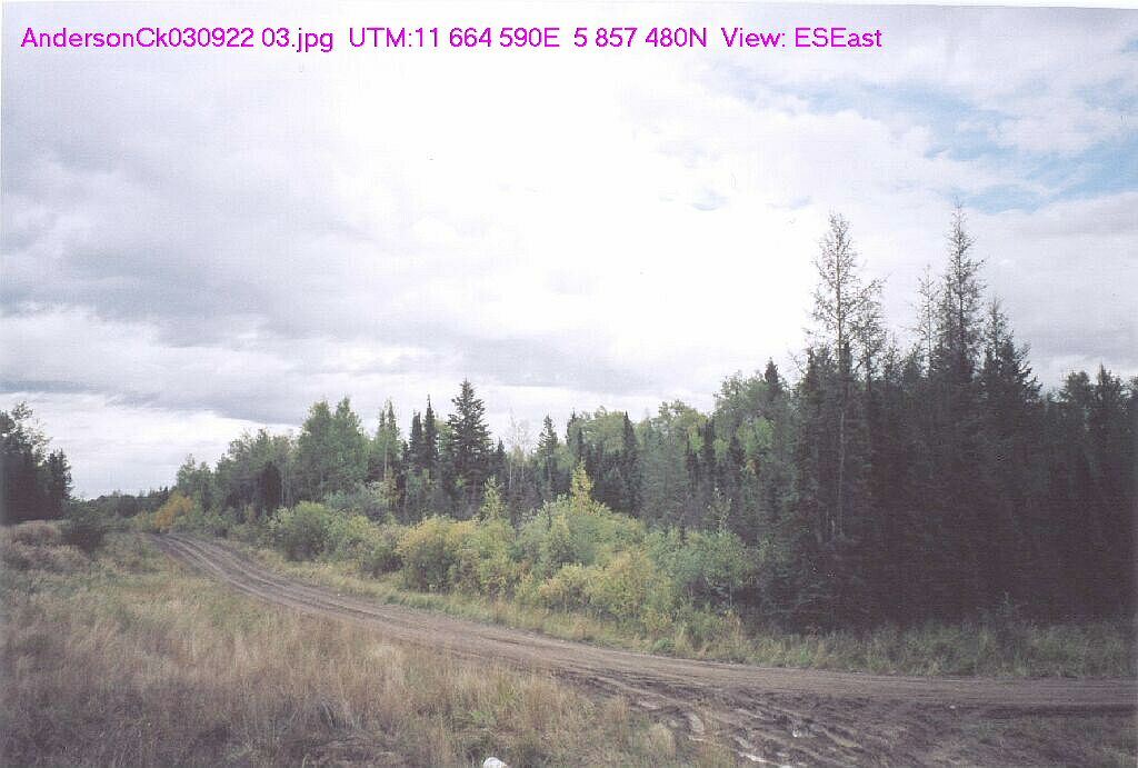
The site is located about 16 km southwest of Winfield. It has rolling topography with wet depressions and creeks. Its diverse wetlands include large beaver complexes and its forests include both coniferous and broad-leaved trees.
- Map of the Area
- Other Information
- Biophysical Observations (via iNaturalist.ca)
- Site Statistics
- References
Map of the Area
Any maps and map views are for general information only. Do not rely on them for navigation or to determine legal boundaries.
Other Information
Forest species comprise white spruce, lodgepole pine and aspen on the uplands and black spruce in the depressions.
Biophysical Observations (via iNaturalist.ca)
Are you a member of iNaturalist.ca? It is free to join and you can help nature by making observations with your smart phone.
If there are no or only a few observations, how about visiting and adding some? While there, complete a site inspection report (but read the Site Inspections terms and conditions first).
Observations & Projects for this Natural Area
- Observations for this Natural Area.
- No iNaturalist Projects.
Site Statistics
| Site Name | Anderson Creek |
| Site Type | Natural Area |
| Subtype | Order-in-council (OC) |
| Natural Region(s) | Central Mixedwood |
| O.C. No. (Land Ref. Manual) | 378/87 |
| PASite ID (Map Ref #) | 274 |
| Site # (Parks Website) | 433 |
| Total Area | 129.50 ha. (319.99 ac.) |
| Steward-Status | |
| Recreation Activities | none noted |
| IUCN | II |
| Operated By | Parks Division |
| Notes and Comments |
References
The following links are provided as a courtesy but are not verified or endorsed by SAPAA. Clicking on the link will cause you to leave the SAPAA website. Primary source of information is: Government of Alberta – Information & Facilities – Anderson Creek Natural Area | Alberta Parks (2022-01-21).

Anderson Creek is southwest of Pigeon Lake and one of a number of the natural areas in the Central Alberta region. Tony, you will have to go back and get some more photos of the site!
LikeLike