This NA occupies two parcels of land in Westlock County, about 15 km east of Clyde. Both parcels are under grazing leases.
- Map of the Area
- Other Information
- Biophysical Observations (via iNaturalist.ca)
- Site Statistics
- References
- Further Reading
- Site Inspections
Map of the Area
Any maps and map views are for general information only. Do not rely on them for navigation or to determine legal boundaries.
Other Information
WHERE IS ANTON LAKE? According to Google Maps, Anton Lake is at the intersection of Highway 18 and Range Road 234 and the Natural Area is named for it. The Paly family has had the lease on the North parcel for a number of years. To the Southwest is another lease but with a very different story.
PAX NATURA SOCIETY, formally organized as a society in July 1973, was an experimental project for rehabilitating the deaf. It was headed by Pastor Bauer of the Cross of Christ Lutheran Church, Edmonton (Lutheran Church Missouri Synod) and funded initially by the Fort Edmonton Kinsman Club and the Edmonton Quota Club. They developed a “back-to-the-soil” approach to dealing with troubled deaf youth who were trained in farm work, mechanics and wood working. The Church and Society also sponsored a Pax Natura House in the Belgravia area of Edmonton from 1975 [2]. The society was struck off the provincial corporate records in 2019 [3].
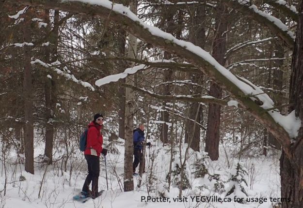
ACCESS WITH PERMISSION. Recreational access to both sites are possible but plan ahead by contacting the leaseholder in advance. Not sure who you would contact for Pax Natura though….
Biophysical Observations (via iNaturalist.ca)
Are you a member of iNaturalist.ca? It is free to join and you can help nature by making observations with your smart phone.
If there are no or only a few observations, how about visiting and adding some? While there, complete a site inspection report (but read the Site Inspections terms and conditions first).
SAPAA is in the process of linking each site to the respective boundary in iNaturalist. This page has not been linked yet but before to check back in a few weeks. While you are waiting, explore some of the eighteen MILLION Canadian observations?
Observations & Projects for this Natural Area
Projects in iNaturalist are created allow for the management of observations for different purposes (e.g. bio-blitz, bird counts, etc.). SAPAA notes the following projects but they are not managed by us. Nevertheless, be sure to contribute to makes these projects successful!
- Observations for this Natural Area.
- No iNaturalist Projects.
Site Statistics
| Site Name | Anton Lake (PNT) |
| Site Type | Natural Area |
| Subtype | Protective Notation (PNT) |
| Natural Region(s) | Dry Mixedwood |
| O.C. No. (Land Ref. Manual) | N/A |
| PASite ID (Map Ref #) | 42 |
| Site # (Parks Website) | N/A |
| Total Area | 226.30 ha. (599.20 ac.) |
| Steward-Status | |
| Recreation Activities | |
| IUCN | |
| Operated By | |
| Notes and Comments |
References
The following links are provided as a courtesy but are not verified or endorsed by SAPAA. Clicking on the link will cause you to leave the SAPAA website. All websites accessed 2022-10-15 unless otherwise indicated.
- Phone Conversation with Colin Paly, 2024-12-26.
- Pax Natura Society – Alberta On Record
- Alberta Corporations Business Search
Further Reading
Site Inspections
- 2024-12-29: Anton Lake (NA) – Unpublished.
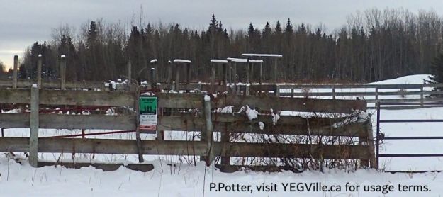
Cattle pen in the NE corner of the site, junction of RR 234 and TWP 604, Anton Lk PNT-North, 2024-12-29, P. Potter. 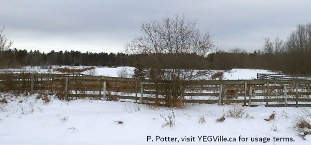
Corral in the NE corner of the site, Anton Lk PNT-North, 2024-12-29, P. Potter. 
Looking West into the site from the RR 234, SE corner, Anton Lk PNT-North, 2024-12-29, P. Potter. 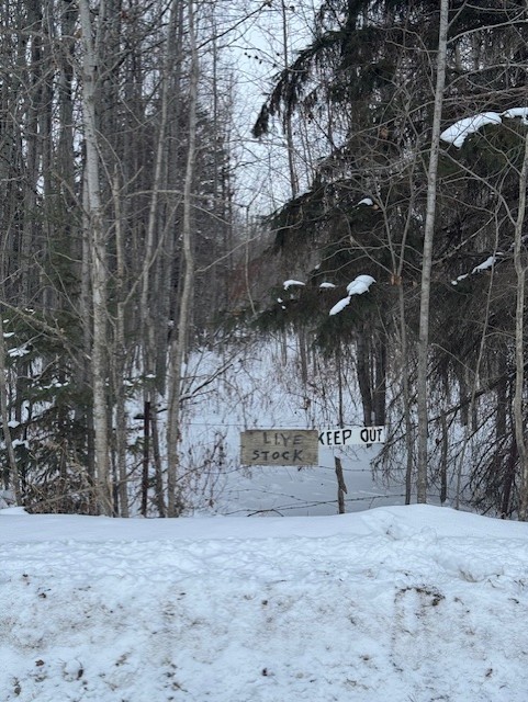
Signage on the South parcel, Anton Lk PNT, 2024-12-29, P. Potter. 
Grazing lease on the North parcel of Anton Lake PNT. 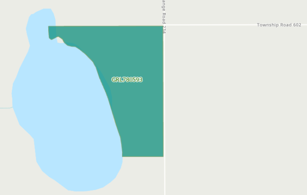
Grazing lease on the south parcel of Anton Lake PNT.
