Bearberry Prairie NA is a combination of one OC and four PNT sites, all on the Red Deer River. The OC portion is adjacent to Sundre NA which lies to the east.

- Map of the Area
- Other Information
- Biophysical Observations (via iNaturalist.ca)
- Site Statistics
- References
- Further Reading
Map of the Area
Any maps and map views are for general information only. Do not rely on them for navigation or to determine legal boundaries.
Other Information
Composed of five individual sites, four designated as PNTs and one as OC, this Natural Area is located along on the Red Deer River. Approximately 12 km separate the southernmost (downstream) PNT site from the northernmost OC portion. The Bearberry OC portion is contiguous with the Sundre Natural Area.

The NA site encompasses a braided river floodplain, including the river embankment and several islands in the Red Deer River. The diverse riverine communities are bordered by aspen-white spruce forest on the slopes, balsam poplar/wolf willow on the terraces and bedrock exposures (Alberta Parks website, 2012).
Bearberry or kinnickinnick is a dwarf subshrub in the heath family that is adapted to cold climates including the Arctic and Subarctic. The edible red fruit is favoured by bears, hence its name [1].
Biophysical Observations (via iNaturalist.ca)
Are you a member of iNaturalist.ca? It is free to join and you can help nature by making observations with your smart phone.
If there are no or only a few observations, how about visiting and adding some? While there, complete a site inspection report (but read the Site Inspections terms and conditions first).
Observations & Projects for this Natural Area
- Bearberry Prairie (OC) Observations.
- Bearberry Prairie (PNT) Observations.
- No iNaturalist Projects.
Site Statistics
| Site Name | Bearberry Prairie |
| Site Type | Natural Area |
| Subtype | Order-in-council (OC) |
| Natural Region(s) | Dry Mixedwood |
| O.C. No. (Land Ref. Manual) | 454/71 |
| PASite ID (Map Ref #) | 248 |
| Site # (Parks Website) | 509 |
| Total Area | 36.69 ha. (90.66 ac.) |
| Steward-Status | |
| Recreation Activities | canoeing/kayaking; fishing, hunting |
| IUCN | II |
| Operated By | Parks Division |
| Notes and Comments |
| Site Name | Bearberry Prairie (PNT) |
| Site Type | Natural Area |
| Subtype | Protective Notation (PNT) |
| Natural Region(s) | Dry Mixedwood |
| O.C. No. (Land Ref. Manual) | N/A |
| PASite ID (Map Ref #) | 248 |
| Site # (Parks Website) | N/A |
| Total Area | 41.54 ha. (102.64 ac.) |
| Steward-Status | |
| Recreation Activities | |
| IUCN | IV*6 |
| Operated By | |
| Notes and Comments |

References
The following links are provided as a courtesy but are not verified or endorsed by SAPAA. Clicking on the link will cause you to leave the SAPAA website. Primary source of information is: Information & Facilities – Bearberry Creek Natural Area | Alberta Parks (All links accessed on 2022-12-01)
Further Reading
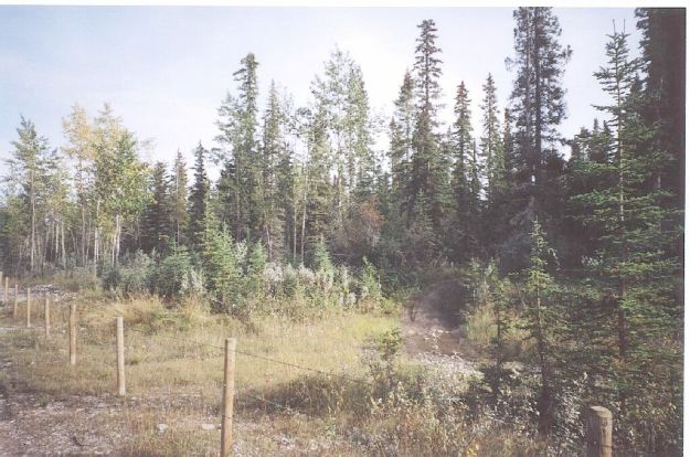
North boundary fence, Bearberry Prairie NA, 2003-09-21 (T.Blake) 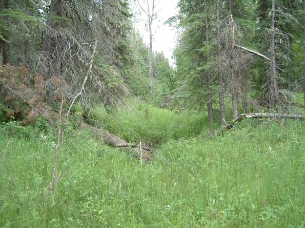
Swale, Bearberry Prairie NA, 2003-09-21 (T.Blake) 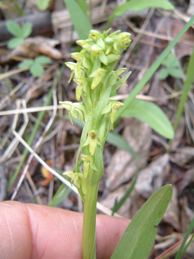
Tall northern green bog orchid, Bearberry Prairie NA, 2003-09-21 (T.Blake) 
Looking upstream, Bearberry Prairie NA, 2003-09-21 (T.Blake) 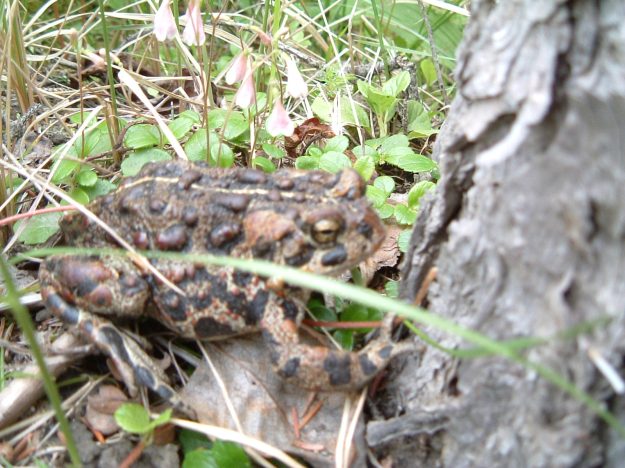
Western or Boreal Toad, Bearberry Prairie NA, 2003-09-21 (T.Blake) 
Sparrow’s-egg lady’s-slipper, Bearberry Prairie NA, 2003-09-21 (T.Blake) 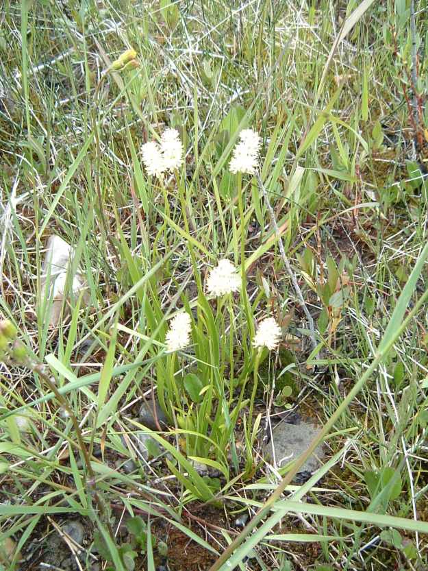
Sticky false asphodel, Bearberry Prairie NA, 2003-09-21 (T.Blake) 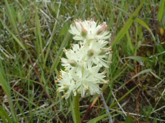
Sticky false asphodel, Bearberry Prairie NA, 2003-09-21 (T.Blake) 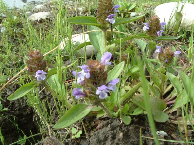
Common self-heal, Bearberry Prairie NA, 2003-09-21 (T.Blake)

Two sites, two astringent definitions for the price of one post! Bearberry goes by a series of aliases including: Common bearberry, kinnickinnick, bear’s grape, sandberry, barren myrtle, mountain box, and hog cranberry. As the name suggests, bears love them. Humans find the raw taste to be bland, mealy, or sometimes astringent (slightly acidic); when cooked they are closer to a cranberry and sweeter. If munching on berries, next to a bear, is not your thing; then they are also used in traditional medicine. The tea leaves make for a good antiseptic or as an astringent.
The natural area is on the Red Deer River and is composed of two portions.
So there, one natural area, two sites and two different uses of the word astringent (sorry if my tone seemed a bit aggressive… you know, astringent).
LikeLike