Located about 12 km northwest of Stony Plain, this Natural Area is named after the creek that flows through its western segment. It is a complex peatland site with a variety of vegetation communities relating to topography and soil type.
- Map of the Area
- Other Information
- Biophysical Observations (via iNaturalist)
- Site Statistics
- References
- Further Reading

Map of the Area
Any maps and map views are for general information only. Do not rely on them for navigation or to determine legal boundaries.
Other Information
The Natural Area is a predominantly peatland site containing mixed communities varying from swamp forest of spruce-tamarack-Alaskan birch and open, calcareous fens with marl ponds and marl flats to sedge meadows abutting the creek. Poplar forest occurs on the higher ground to the east. Peatmosses (Sphagnum species) and brown mosses are well represented in the fen areas to the north, as are sundews (Drosera species), sedges (Carex species) and the rare slender beakrush (Rhynchospora capillacea).
Kilini Creek is a fast-flowing stream that winds through extensive sedge meadows and drains various dams, the work of generations of beavers. The creek starts around Smithfield, angles toward Onoway (crosses at the junction of Highway 16 and Highway 43), flows northeast and ends at Devil’s Lake [1].
Precise Origin of the Name is unknown. It was recorded as “Kilikinik Creek” in the 1901 field notes of the Dominion Land Survey, and with the current spelling on the 1913 township plan. The name may be a misspelled reference to the Cree name for bearberry – kinikinik [2].
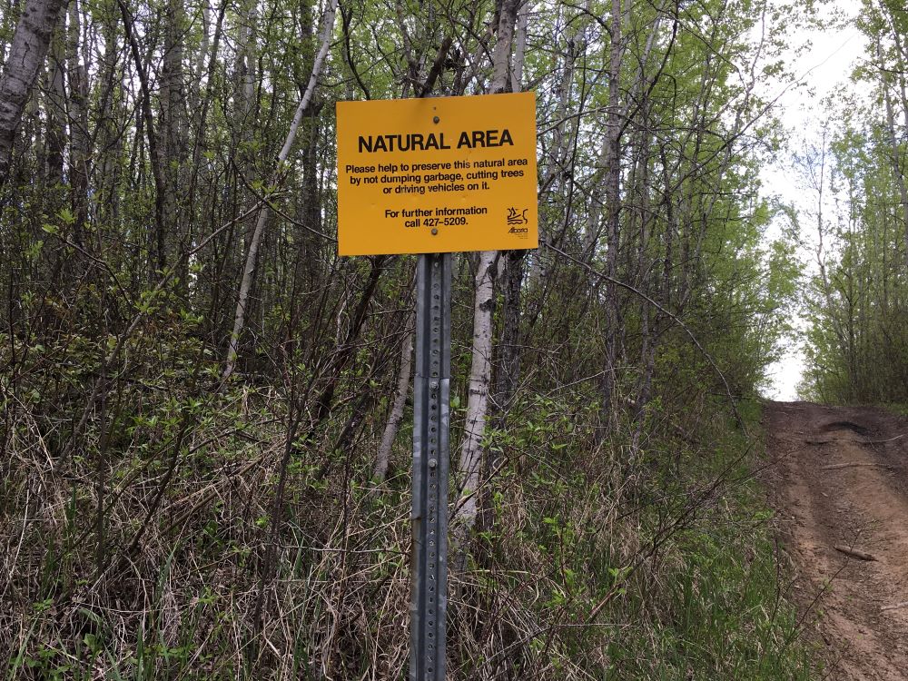
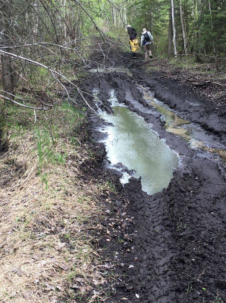
Extensive OHV Disturbance was observed on an unreported site visit in December of 2020 [4]. Damage to the site was also reported in a site visit in 2017 [3, 4]. Additionally, the hydrology of the NA is impacted by gravel mining in the area.
Outstanding Group Steward Award was given to the Glory Hills Junior Forest Wardens in 2008 [5].
Biophysical Observations (via iNaturalist)
Are you a member of iNaturalist.ca? It is free to join and you can help nature by making observations with your smart phone.
If there are no or only a few observations, how about visiting and adding some? While there, complete a site inspection report (but read the Site Inspections terms and conditions first).
Observations & Projects for this Natural Area
- Observations for this Natural Area.
- No iNaturalist Projects.
Site Statistics
| Site Name | Kilini Creek (PNT) |
| Site Type | Natural Area |
| Subtype | Protective Notation (PNT) |
| Natural Region(s) | Dry Mixedwood |
| O.C. No. (Land Ref. Manual) | N/A |
| PASite ID (Map Ref #) | 221 |
| Site # (Parks Website) | N/A |
| Total Area | 128.93 ha. (318.60 ac.) |
| Steward-Status | |
| Recreation Activities | |
| IUCN | |
| Operated By | |
| Notes and Comments |
References
The following links are provided as a courtesy but are not verified or endorsed by SAPAA. Clicking on the link will cause you to leave the SAPAA website. Primary source of information is the Government of Alberta (All links accessed on 2026-02-04).
- Thomas, Mary, and Hacienda Consulting. “Nature Tour.” Town of Onoway.
- Kelland, Roland. “Origin of Alberta Place Names West of Edmonton and North of Hwy 16,” December 21, 2020.
- Unreported site visit, December 12, 2020, F. Potter.
- A Visit to Kilini Creek, SAPAA Newsletter No. 35, June 2017. pp. 3-4.
- Stewards Conference, Grande Prairie 12-14 Sept 2008, SAPAA Newsletter No. 20, September 2008., p. 2.