Lac La Nonne NA is located on the northwest corner of the lake by the same name. European and Metis settlement on the lake dates back to the early 1800s; a Hudson Bay post was established in 1830.
- Map of the Area
- Other Information
- Biophysical Observations (via iNaturalist)
- Site Statistics
- References
- Further Reading
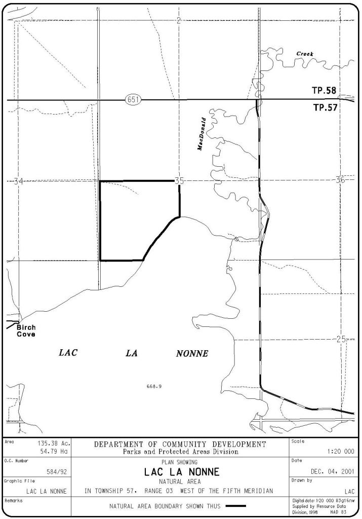
Map of the Area
Any maps and map views are for general information only. Do not rely on them for navigation or to determine legal boundaries.
Other Information
Lac La Nonne Natural Area has gently to moderately rolling topography with young to mature balsam poplar forest and scattered mature white spruce, small stands of mature white birch and scattered, small sedge wetlands. It provides good wildlife habitat.
European inhabitation dates back to the early 1800s as the lake was an important staging area for the Hudson Bay Company. The overland route to the Klondike included the lake [1]. In recent years, algae blooms in the lake and invasive species have become a concern [2].
DECEMBER 29, 2020 SITE VISIT. A site visit in December showed considerable damage to the NA from off-highway vehicles. This was based on a survey from the access road (FPotter).
Biophysical Observations (via iNaturalist)
Are you a member of iNaturalist.ca? It is free to join and you can help nature by making observations with your smart phone.
If there are no or only a few observations, how about visiting and adding some? While there, complete a site inspection report (but read the Site Inspections terms and conditions first).
Observations & Projects for this Natural Area
- Observations for this Natural Area.
- No iNaturalist Projects.
Site Statistics
| Site Name | Lac La Nonne |
| Site Type | Natural Area |
| Subtype | Order-in-council (OC) |
| Natural Region(s) | Dry Mixedwood |
| O.C. No. (Land Ref. Manual) | 584/92 |
| PASite ID (Map Ref #) | 511 |
| Site # (Parks Website) | 544 |
| Total Area | 57.00 ha. (140.85 ac.) |
| Steward-Status | |
| Recreation Activities | none noted |
| IUCN | II |
| Operated By | Parks Division |
| Notes and Comments |
References
The following links are provided as a courtesy but are not verified or endorsed by SAPAA. Clicking on the link will cause you to leave the SAPAA website. Primary source of information is: Government of Alberta –Information & Facilities – Lac La Nonne Natural Area | Alberta Parks (2026-01-28).

There are Nonne Like it! Get it, none – Nonne… Anyway! Lac La Nonne’s European habitation dates back to the 1830 and a Hudsons Bay Trading post. Unfortunately this area has been degraded more recently by ATVs and quads. A pity that a few eliminate the potential for so many others.
LikeLike
Sorry Phrank but we were out this weekend with our dogs and even through the trails were muddy, the fact that ATV riders have kept the trails so worn down made our life very easy. If you don’t like the ATV trails, there is a huge area of wild forest to walk through.
LikeLike
Thanks A2Z, definitely a different perspective on ATV’ers. Thanks for visiting the site. As an aside, would you be interested in becoming a volunteer ‘citizen-steward’? A great way to explore Alberta and keep an eye on our provincial treasures (and give the dogs a run).
LikeLike