This NA of two sections is located just east of the Sheep River Provincial Park/Bluerock Wildland Provincial Park system, approximately 10 km west of Turner Valley. Mapbox information indicates the presence of several trails.
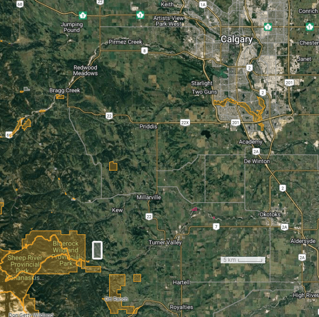
Map of the Area
Any maps and map views are for general information only. Do not rely on them for navigation or to determine legal boundaries.
Biophysical Observations (via iNaturalist)
Are you a member of iNaturalist.ca? It is free to join and you can help nature by making observations with your smart phone.
If there are no or only a few observations, how about visiting and adding some? While there, complete a site inspection report (but read the Site Inspections terms and conditions first).
Observations & Projects for this Natural Area
- Observations for this Natural Area.
- No iNaturalist Projects.
Site Statistics
| Site Name | Macabee Creek (PNT) |
| Site Type | Natural Area |
| Subtype | Protective Notation (PNT) |
| Natural Region(s) | Montane |
| O.C. No. (Land Ref. Manual) | N/A |
| PASite ID (Map Ref #) | 444 |
| Site # (Parks Website) | N/A |
| Total Area | 517.27 ha. (1278.20 ac.) |
| Steward-Status | |
| Recreation Activities | |
| IUCN | |
| Operated By | |
| Notes and Comments |
References
Primary source of information is: Government of Alberta.(reviewed 2026-01-27)
