This PNT adjoins the southern portion of Crimson Lake Provincial Park and is just northwest of Rocky Mountain House.
- Map of the Area
- Other Information
- Biophysical Observations (via iNaturalist)
- Site Statistics
- References
- Further Reading
Map of the Area
Any maps and map views are for general information only. Do not rely on them for navigation or to determine legal boundaries.
Other Information
Within close proximity to each other are three provincial protected areas: Rocky Mountain House PNT, Crimson Lake Provincial Park, and Mill Island Natural Area. Mill Island is farthest north and does not adjoin the other two. The provincial park and this PNT adjoin in one spot. The PNT itself is composed of two parcels of land separated by Highway 11 with intervening Crown land [1].
North West Company trading post was built on the north bank of the North Saskatchewan River above the mouth of the Clearwater River [2]. The post was intended to increase trade opportunities with competing First Nation communities who otherwise were hostile to each other. The post opened and closed a number of times before finally closing in 1875. The village of Rocky Mountain House benefited from the Canadian Northern Railway’s arrival in 1912. Farming and resource extraction were primary industries with tourism increasing in importance [3].
Biophysical Observations (via iNaturalist)
Are you a member of iNaturalist.ca? It is free to join and you can help nature by making observations with your smart phone.
If there are no or only a few observations, how about visiting and adding some? While there, complete a site inspection report (but read the Site Inspections terms and conditions first).
Observations & Projects for this Natural Area
- Observations for this Natural Area.
- No iNaturalist Projects.
Site Statistics
| Site Name | Rocky Mountain House (PNT) |
| Site Type | Natural Area |
| Subtype | Protective Notation (PNT) |
| Natural Region(s) | Dry Mixedwood |
| O.C. No. (Land Ref. Manual) | N/A |
| PASite ID (Map Ref #) | 45 |
| Site # (Parks Website) | N/A |
| Total Area | 210.65 ha. (520.53 ac.) |
| Steward-Status | |
| Recreation Activities | |
| IUCN | |
| Operated By | |
| Notes and Comments |
(On smart phones, swipe to advance the pictures)

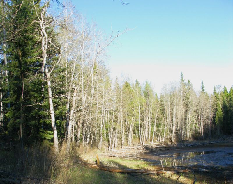
Rocky Mountain House (PNT) 2009-05-29 (TBlake) 
Rocky Mountain House (PNT) 2009-05-29 (TBlake) 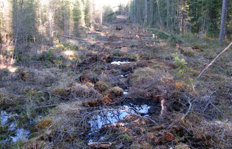
Rocky Mountain House (PNT) 2009-05-29 (TBlake) 
fairy slipper orchid (Calypso bulbosa), Rocky Mountan (PNT) 2009-05-29 (TBlake) 
Screen capture from the SAPAA-Google Map of Rocky Mountain House (PNT) Natural Area (red square).
References
The following links are provided as a courtesy but are not verified or endorsed by SAPAA. Clicking on the link will cause you to leave the SAPAA website. Primary source of information is the Government of Alberta (All links accessed on 2026-01-03).
- Clearwater County, Land Ownership Map.
- University of Alberta, Peel 5240, p. 109.
- Wikipedia, Rocky Mountain House.
